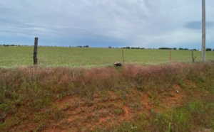
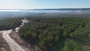
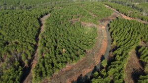
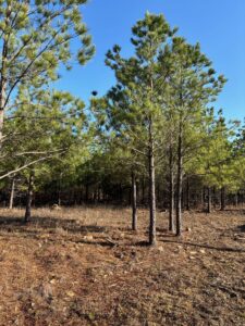
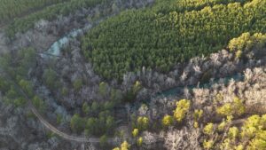
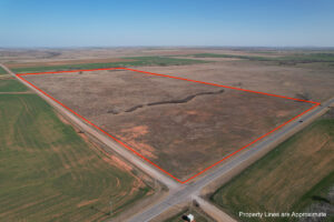
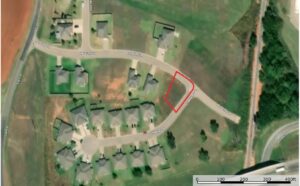
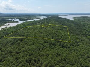
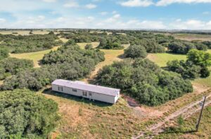
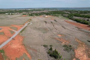
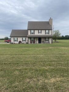
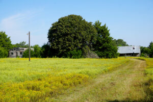
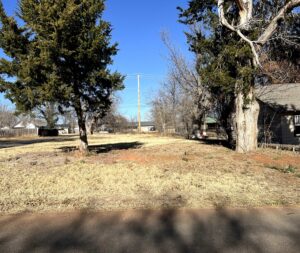
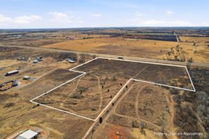
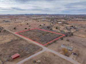
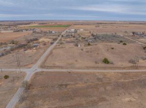
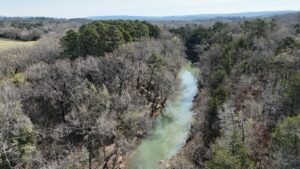
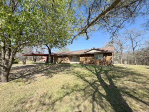
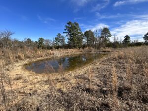
Oklahoma offers a noteworthy 44 million acres or so of land statewide and about 45% of that total consists of grassland pasture, while 24% is cropland. Still, forest area comes in at a solid 17% (or roughly 7 million acres). A relatively small amount of land – 683,000 acres – is owned and administered by federal land management agencies. You’ll find cattle ranches, hunting land, mountain acreage, lakefront land and more among the land for sale in Oklahoma.
Not unlike its southern neighbor Texas, Oklahoma has diverse geography from region to region. It’s a little bit Midwest, a little bit Southwest and it offers a lot for visitors and new residents.
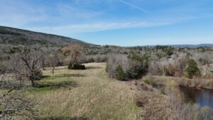
Oklahoma’s geographical landscape ranges from arid plains to subtropical forests and mountains. While most of Oklahoma consists of level plains, the state also has hills and mountains covered by green forests. Oklahoma features10 geographical regions: Ozark Plateau, Prairie Plains, Ouachita Mountains, Sandstone Hills, Arbuckle Mountains, Wichita Mountains, Red River Valley, Red Bed Plains, Gypsum Hills, and High Plains.
The High Plains is a mostly grassy region located in the northwest portion of Oklahoma’s panhandle. It has an altitude of 2,000 feet above sea level in the east to 4,973 feet above sea level in the west. The High Plains is a part of the larger Great Plains, situated in the western part of the United States. The entire area of the Great Plains is 174,000 square miles.
The Gypsum Hills cover the northwest and southwest parts of the state and feature an altitude of 1,824 feet above sea level. The hills themselves range from 150-200 feet and are capped with 15 to 20-foot layers of gypsum, a soft sulfate mineral used primarily in drywall. This mineral gives the hills a glossy appearance. The local Indigenous tribes, such as the Cheyenne and Arapaho, refer to these hills as “Shining Mountains” because of their gleaming appearance.
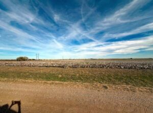
The Red Bed Plains cover the central part of the state, running from north to south making it the largest of Oklahoma’s geographical regions. The eastern part of this region is mostly comprised of forested areas, while the west encompasses more grassland areas. This region is characterized by its rolling hills and unique geological formations, such as its iconic red sandstone. The Red Bed Plains carries a vast history tied heavily to the Wichita People. Oklahoma’s greatest population density and largest towns all reside in this region.
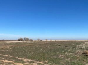
The Red River Valley is located in southern Oklahoma along the Texas border. It is best known for its rolling prairies, with sandy and fertile soil. This region’s significance draws primarily from its history, as it used to be the border for several counties. This land is particularly known for its rich wheat farming and ranching.
The Wichita Mountains, named after the Wichita tribe, are located in southwestern Oklahoma. These large mountains extend from the northwest to the southeast and are approximately thirty miles long. The mountain’s highest peak is called Haley Peak, rests at 2,481 feet above sea level.
The Arbuckle Mountains in south-central Oklahoma have an elevation of 1,411 feet above sea level. These ancient mountains are some of the oldest in the United States. The core of these mountains is comprised of granite that is 1.3 billion years old.
The Sandstone Hills are located in the east-central part of Oklahoma. The Hills range from 250-400 feet high. While this site lacks forest and overall is a poor place for agriculture, it is important for oil, gas, and coal deposits. The hills are characterized as rocky and are primarily composed of sandstone.
The Ouachita Mountains in the southeastern part of the state consist of sandstone ridges. These ridges run from east to west instead of the traditional north to south direction. These mountains form rugged land and are unique because metamorphism and volcanism are absent from this mountain range but are commonly found in most orogenic belts. This makes the Ouachita Mountains one of the most important orogenic belts in North America. The rock types that are observed in these mountains are shale, sandstone, siltstone, and limestone. The mountains themselves have an elevation of 2,753 feet above sea level.
The Prairie Plains is located in the northeastern part of the state. It’s characterized by its mix of open forests, prairies, and sandstone outcrops. A famous landmark that runs through this region is Route 66. Most of Oklahoma’s local coal and oil come from this region. It has an elevation that ranges from 400 feet in the southwest to over 4,000 feet in the northwest.
The Ozarks span multiple states and are located in the northeastern region of Oklahoma. With an elevation that ranges from 650-1640 feet above sea level, the landscape is made up of rivers and steep valleys. This highland region consists of plateaus and rolling hills. It is best known for its woodlands, wetlands, and tourist destinations.