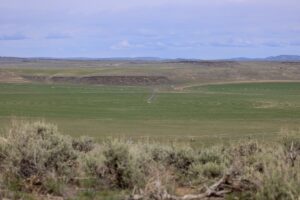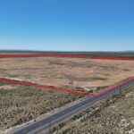
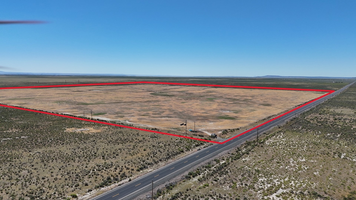
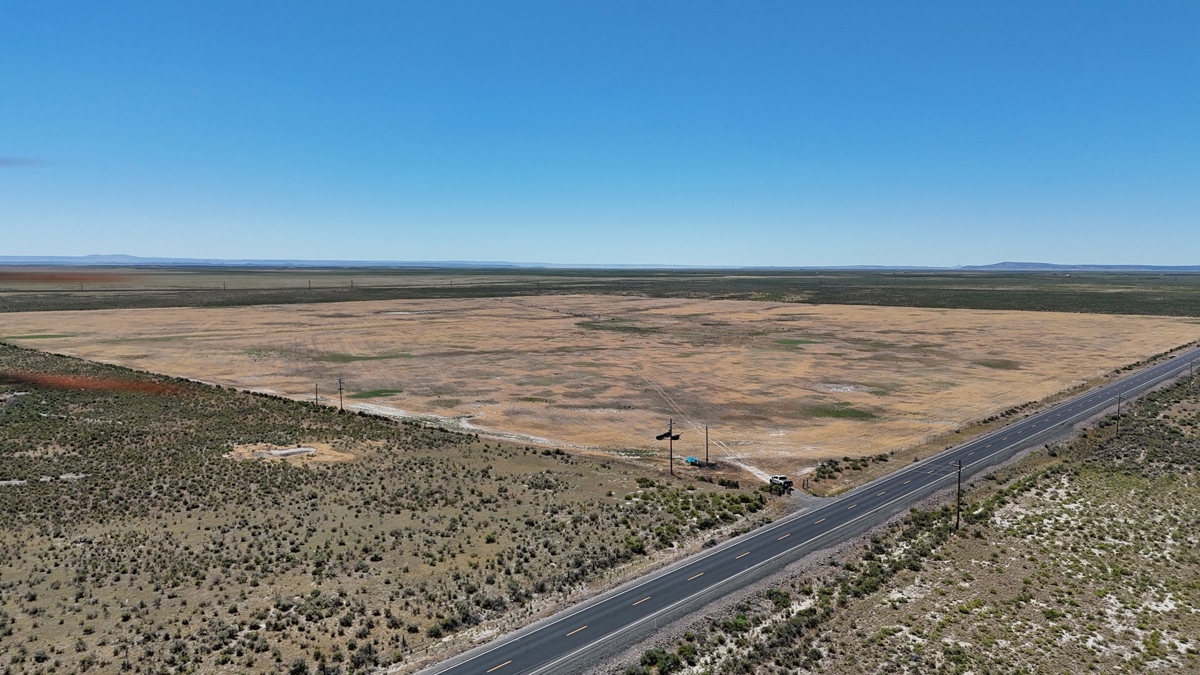
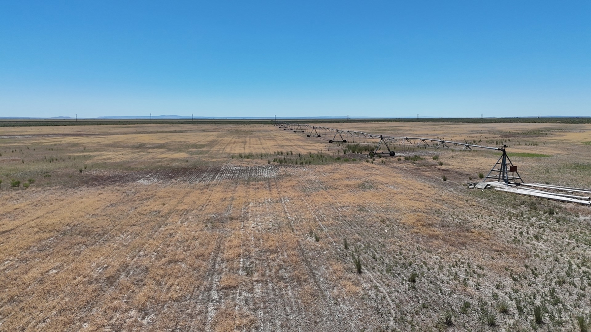
Highway 78 Pivot
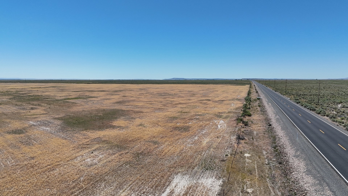
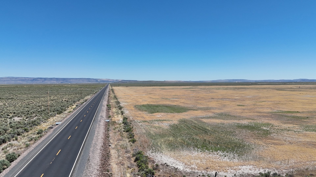
Highway 78 just past Lawen
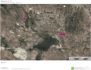
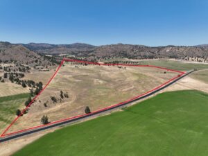
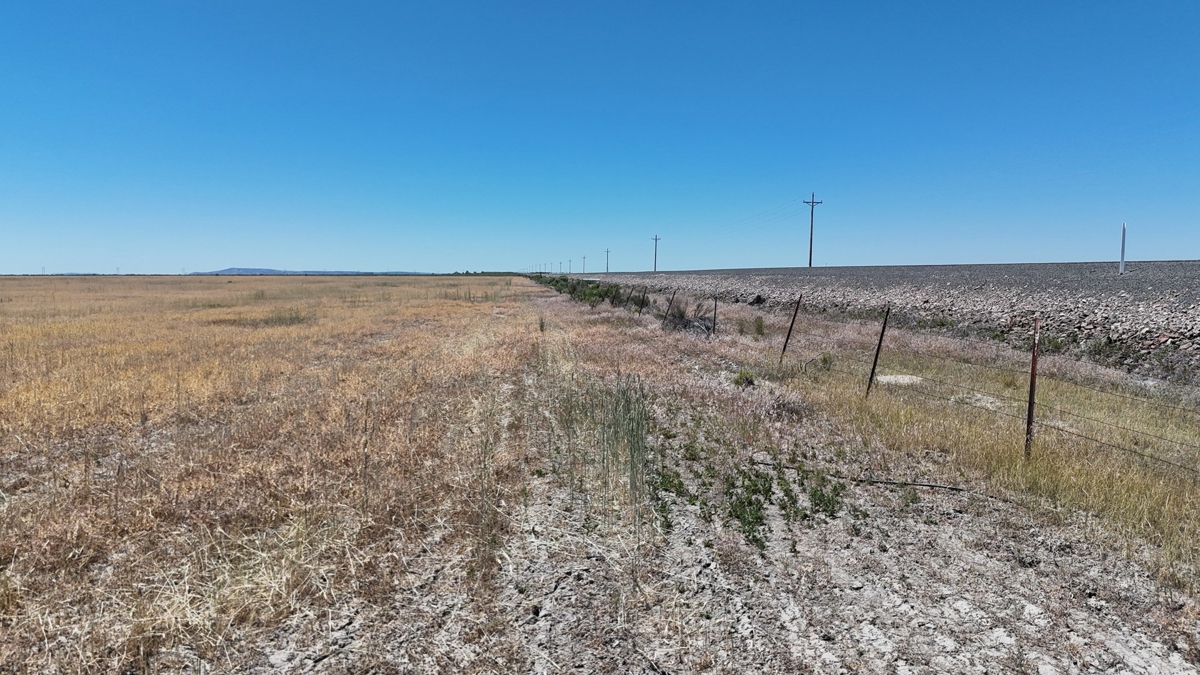
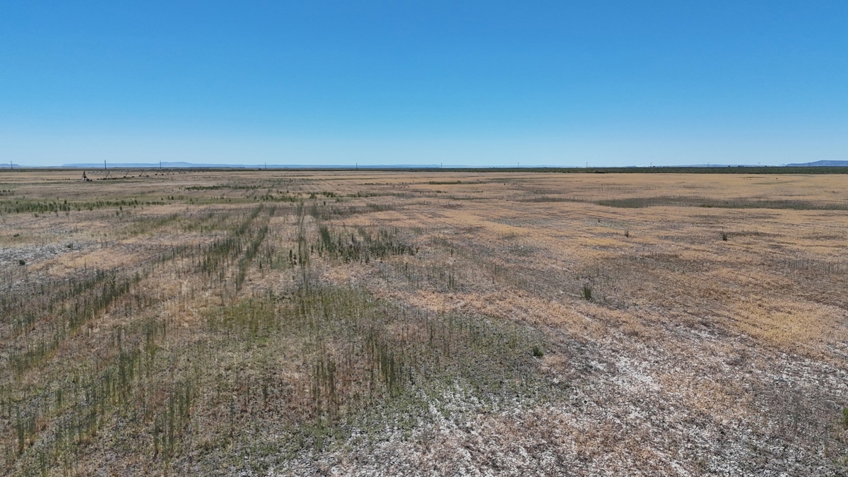
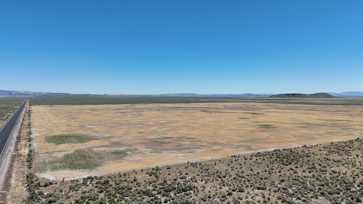
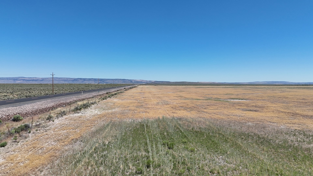
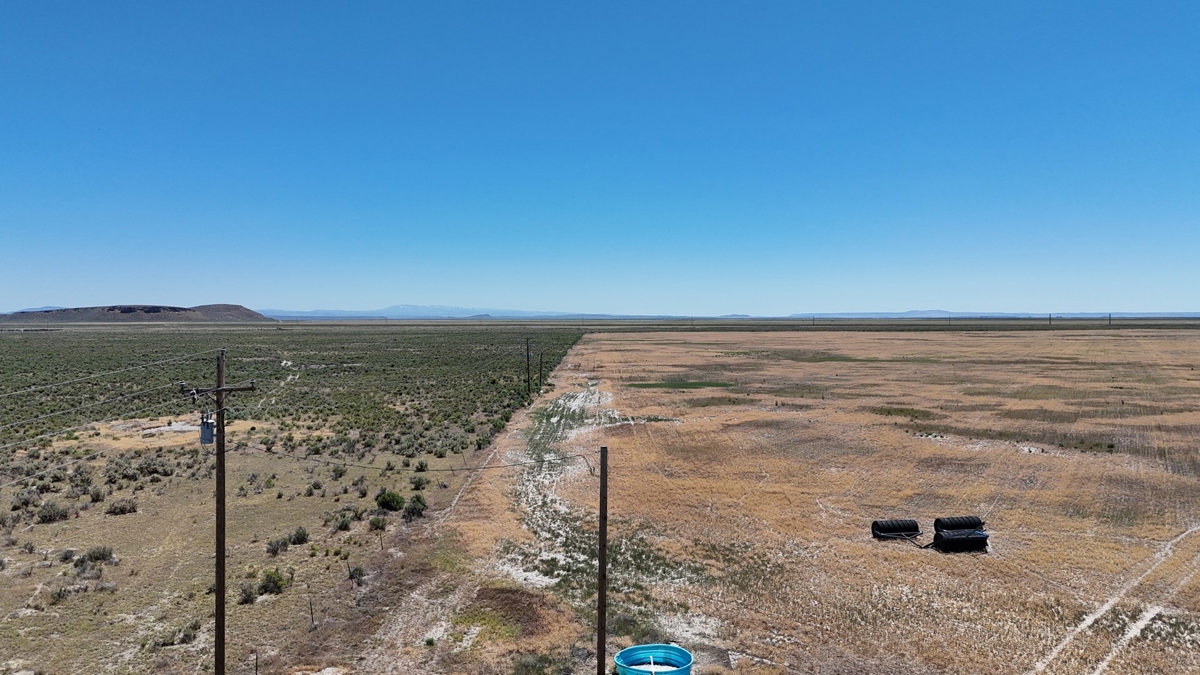
This Eastern Oregon 157 deeded acres has fantastic access as it borders highway 78 nearly 20 minutes east of Burns, Oregon. The property has 157 acres of water rights certificate 93820 with a priority of Oct. 29, 2008. The ground has a Lockwood pivot that is set up to irrigate 125 +/- acres. The irrigation well is needing cleaned out plus a stock well is in the northeast property corner, the property could be a great starter farm.
LOCATION: Approximately 20 miles southeast of Burns along Hwy 78
TAX LOT MAPS: 25S32V00-00-00400
ACREAGE:
157.67 +/- Deeded Acres – Per County Records
– 125+/- Acres Under Pivot
– 36.07+/- Acres Pivot Corners
WATER RIGHTS:
Certificate # Primary Supplemental Priority Date Source
93820 157.67 — Oct. 29, 2008 Well
WELLS:
1 Stock (Harn 2018)
1 Irrigation (Harn 50790)
UTILITIES: Power – Harney Electric Co-op
TAXES: $933.97