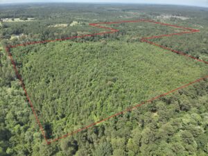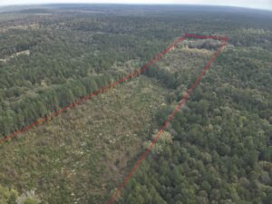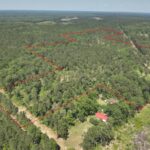
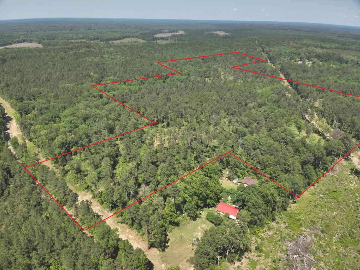
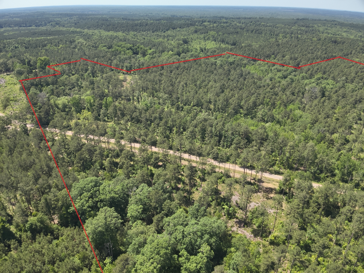
The Red Hill NE Tract
(#03019–04057) is a ±61.4-acre tract of
timberland located in northwestern Ouachita County about four miles north-northeast of Chidester, AR (North 33.7557°, West 92.9961°).
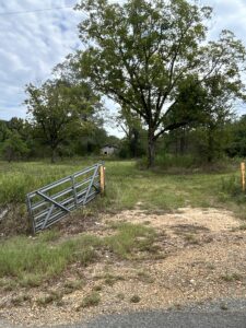
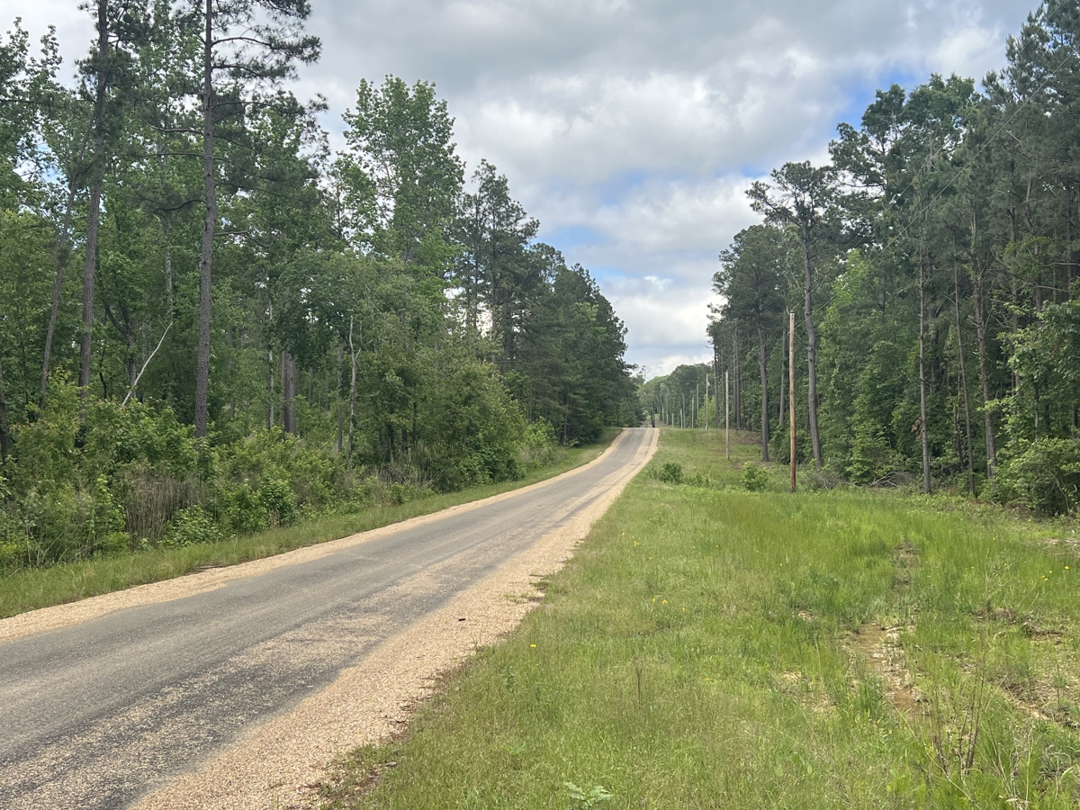
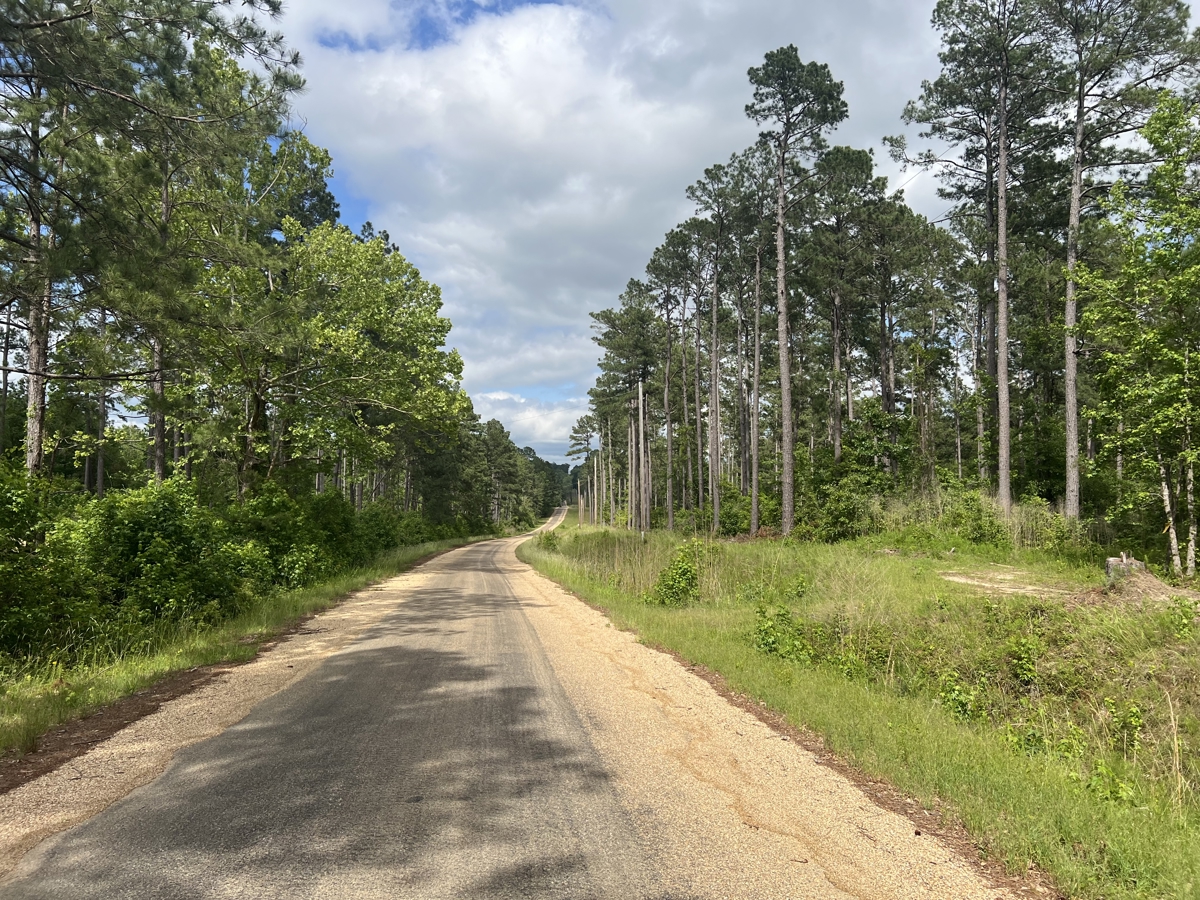
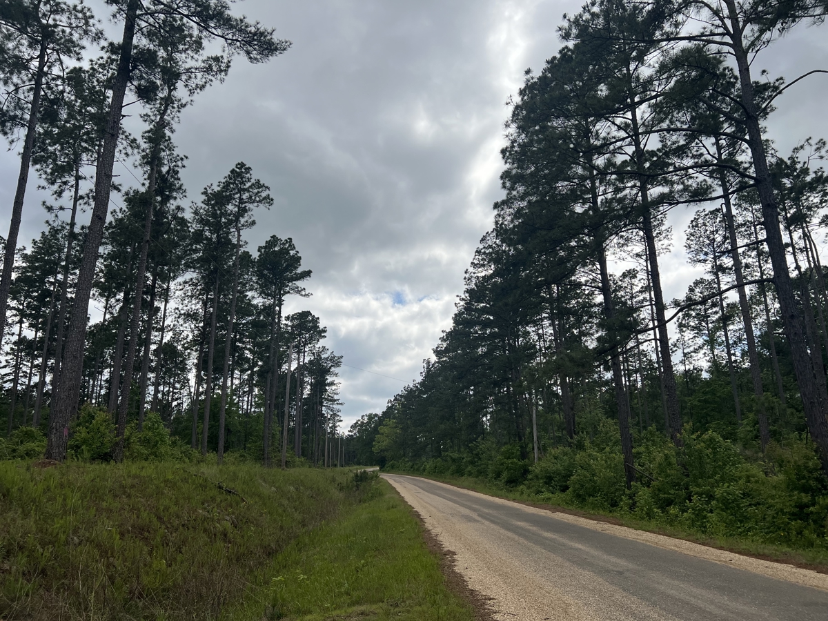
The property has frontage to the east side of Ouachita Road 75 and is
bisected by Ouachita Road 24. Some utilities exist along these county roads
allowing for camp/home site potential within the Camden-Fairview School
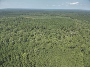
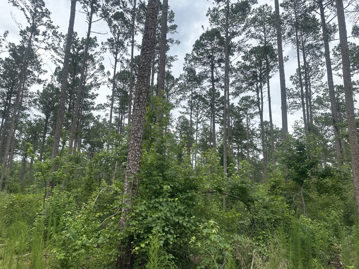
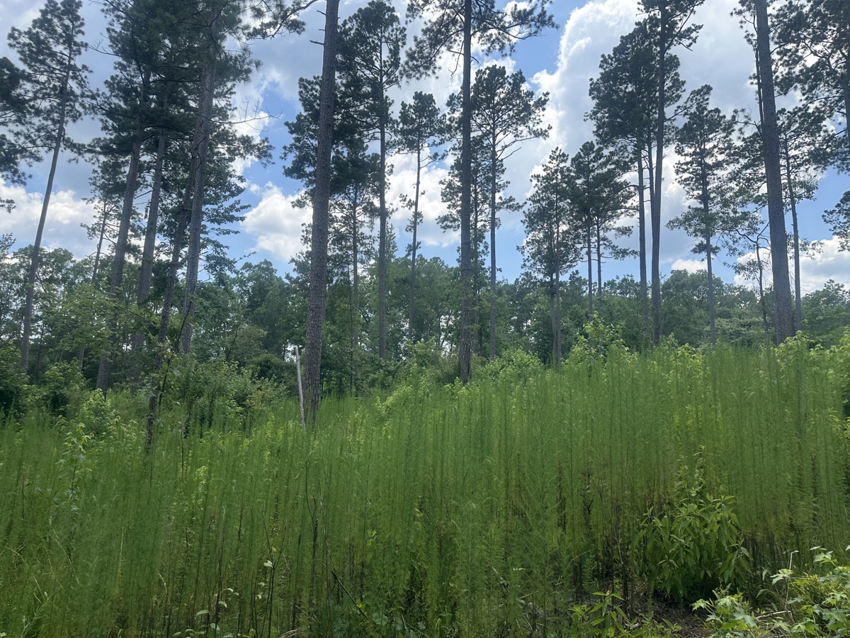
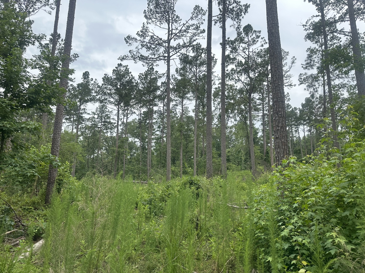
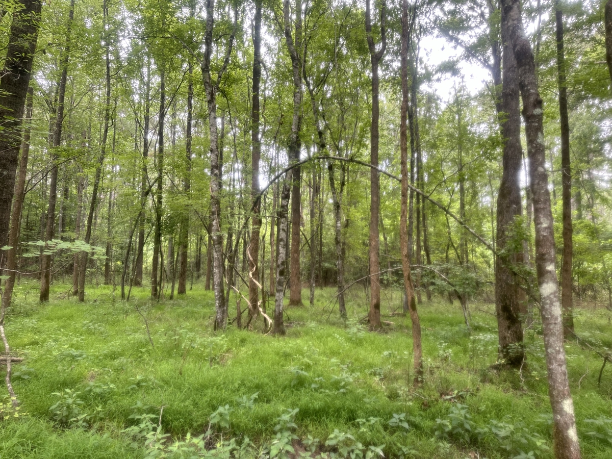
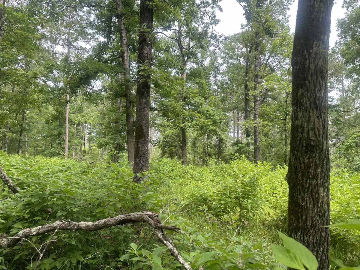
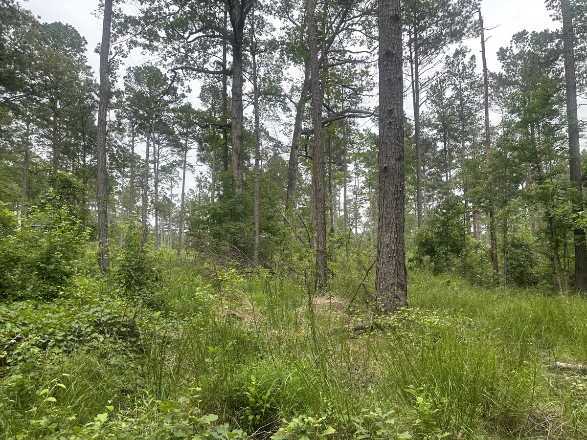
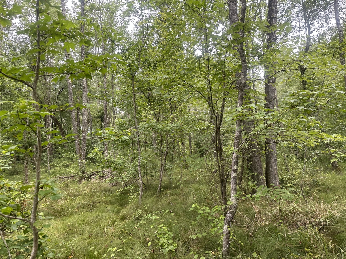
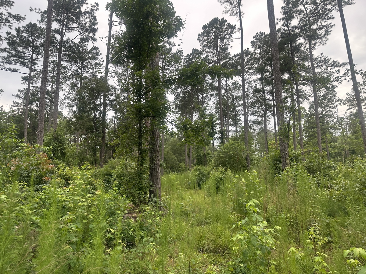
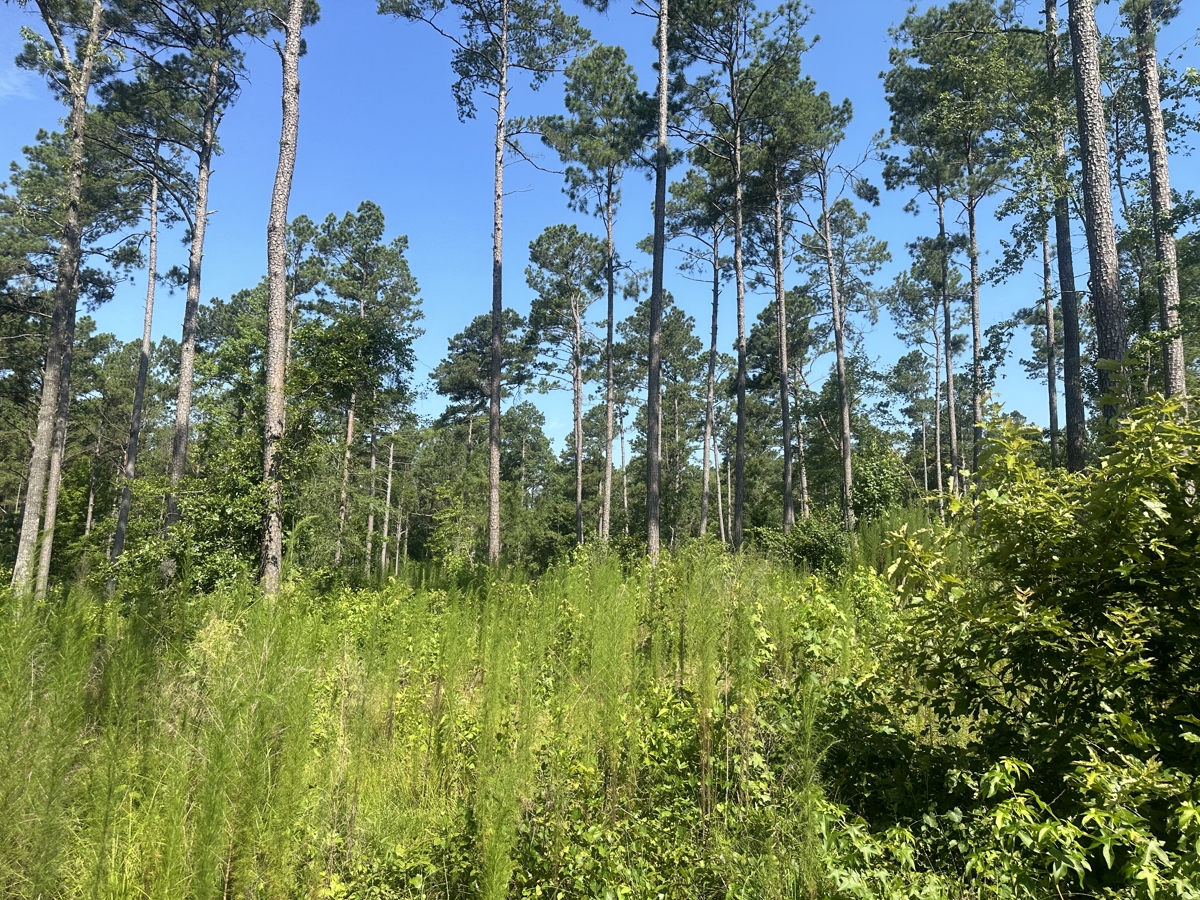
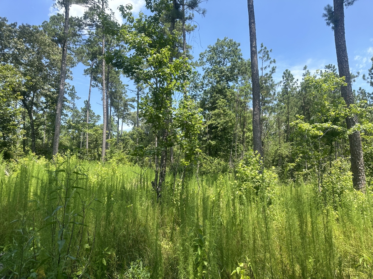
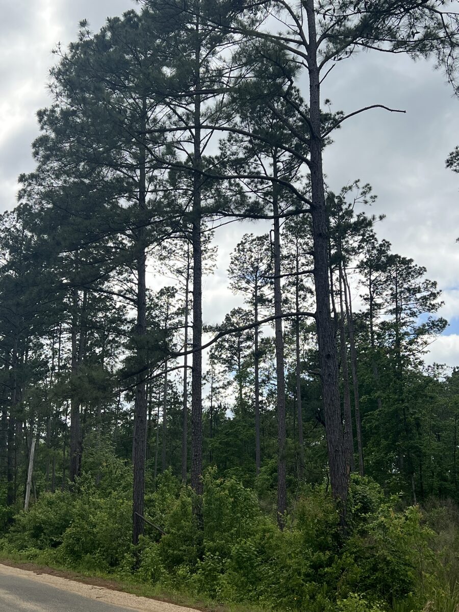
District. The timber consists nearly fifty acres merchantable natural pine
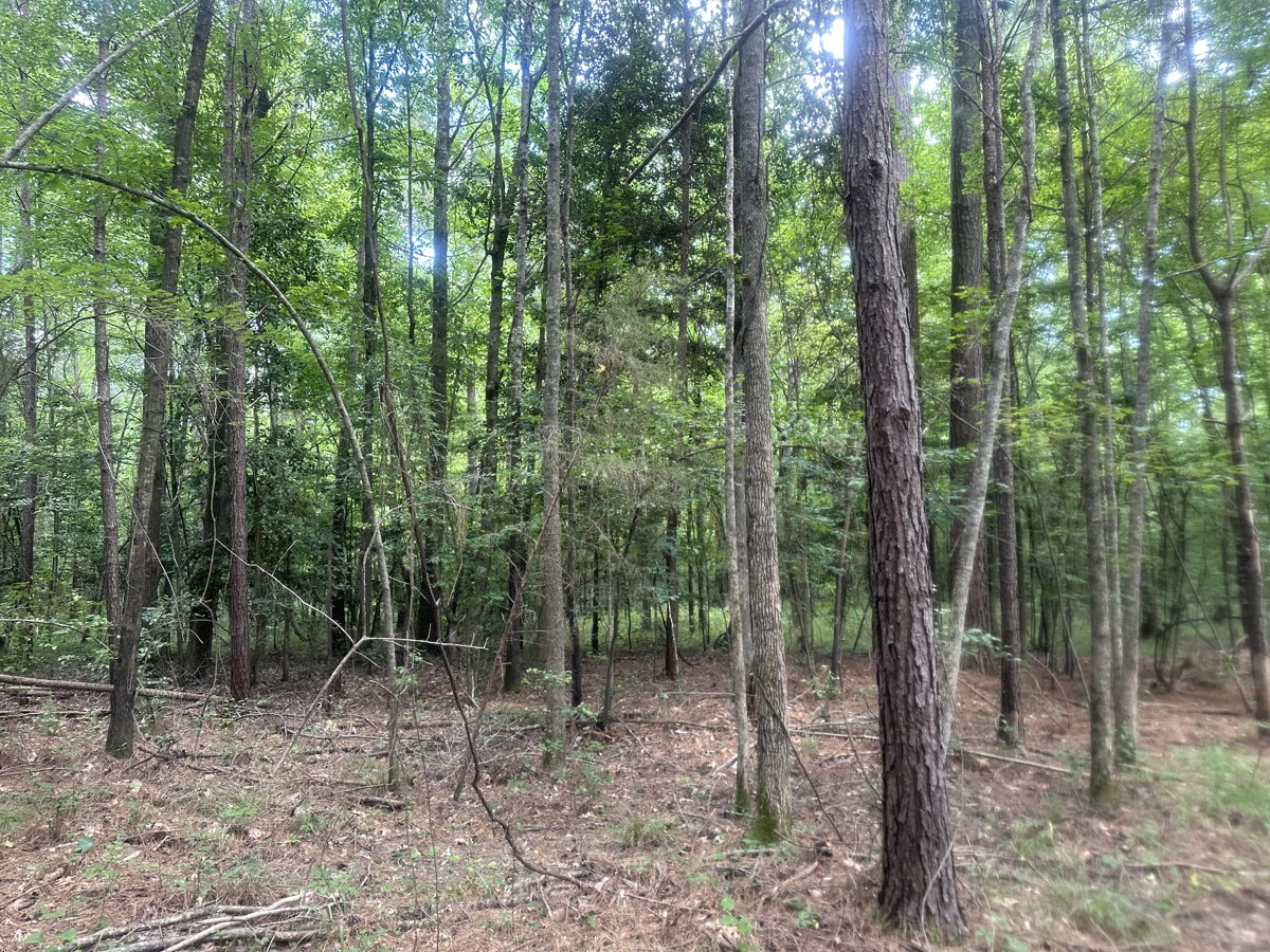
along the more well-drained upland areas. About nine acres of bottomland mixed
hardwood are located along an intermittent creek that flows through the property.
According to the USDA NRCS web soil
survey, the property is based upon an assortment of sandy loam soils which give
the land a weighted average soil site index of 86.2 feet (base age 50 years).
An abundance of recreational activities can be found with Poison Spring
Wildlife Management Area tracts nearby as well as White Oak Lake State Park
about 8 miles to the southwest. A survey completed in April 2025 is available
upon request.
Legal Description: A part of the Fractional Northwest quarter of Section
30 and a part of the South one quarter of the Southeast quarter of the
Southwest quarter of Section 19, all being in Township 11 South, Range 18 West,
and a part of the Northeast Quarter of the Northeast Quarter of Section 25 of
Township 11 South, Range 19 West – all within Ouachita County, Arkansas, more
particularly described as follows:
Commencing at the Southwest corner of the fractional Northwest quarter
of the Northwest quarter of said Section 30 and running S 88°47’01” E
438.89 feet to the POINT OF BEGINNING of the tract herein described; thence, S 88°47’01” E 1487.17 feet; thence, N 02°22’52” E 1304.20 feet; thence, S 88°49’50” E 643.71 feet; thence, N 01°23’44” W 341.50 feet; thence, N 88°09’48” W 1317.09 feet; thence, S 00°23’14” E 327.56 feet; thence, N 87°34’15” W 876.09 feet; thence, S 02°25’00” W 687.15 feet; thence, S 89°16’20” W 470.38 feet to the
center of Ouachita Road #75; thence, S
00°19’19” W along said centerline 159.25 feet; thence, S 00°52’34” W along said
centerline 194.91 feet; thence, leaving
the road, S 88°46’09” E 501.26 feet;
thence, S 03°14’13” E 294.65 feet to the point of beginning,
containing 61.40 Acres, more or less.
Subject to the right of way of Ouachita County Roads #75 and #24.
SEALED BID SALE – DUE June 5th, 2025 by 10AM!!!