Crane Buchanan Pivot
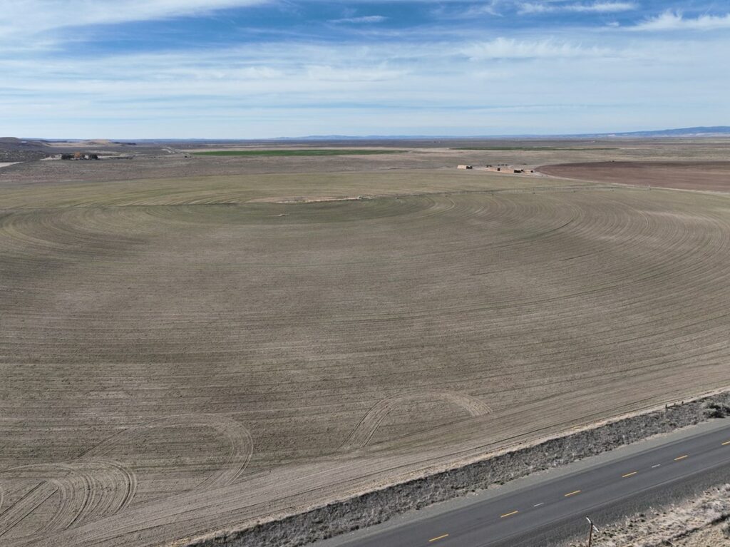
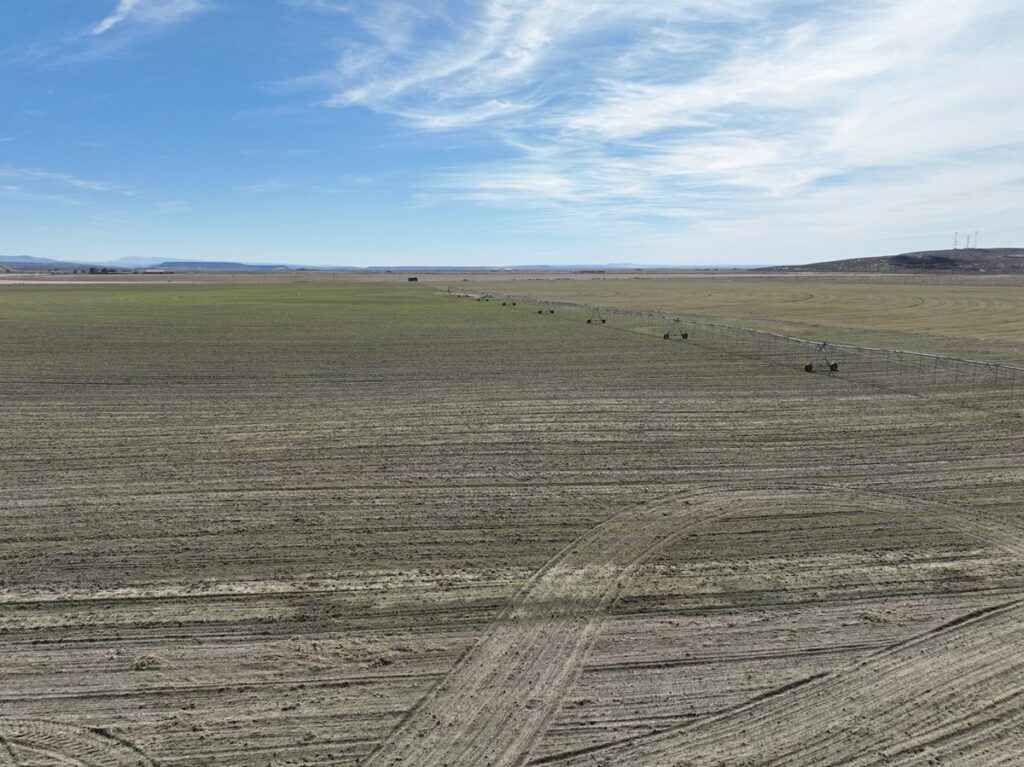
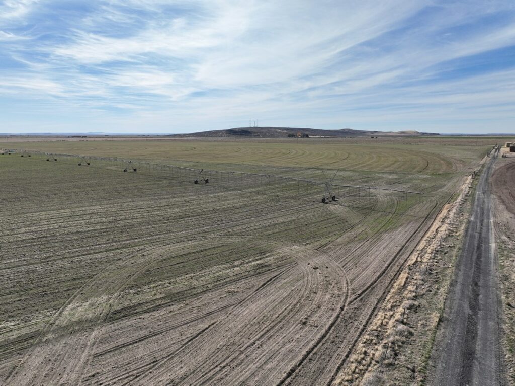
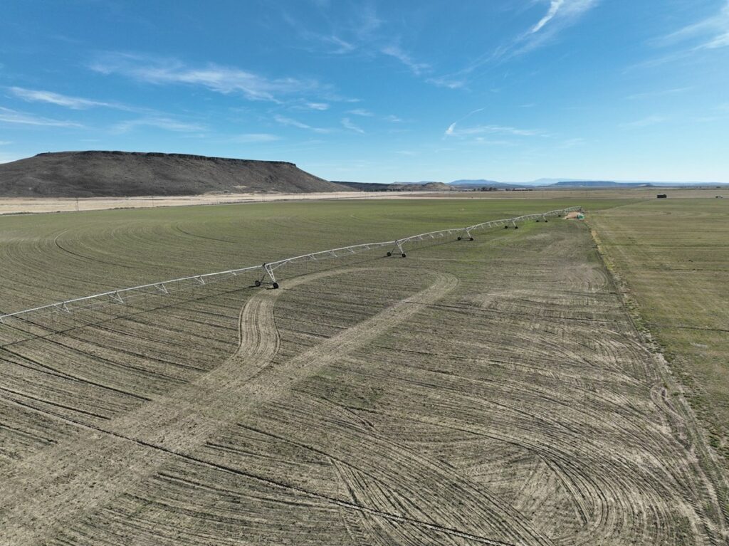
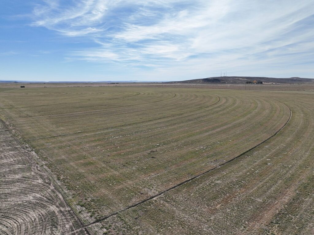
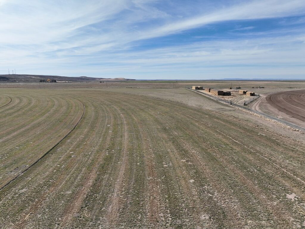
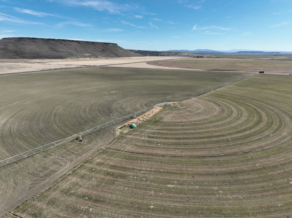
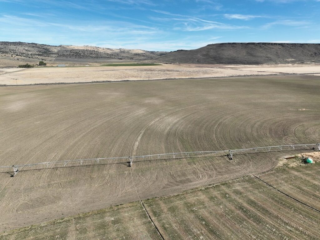
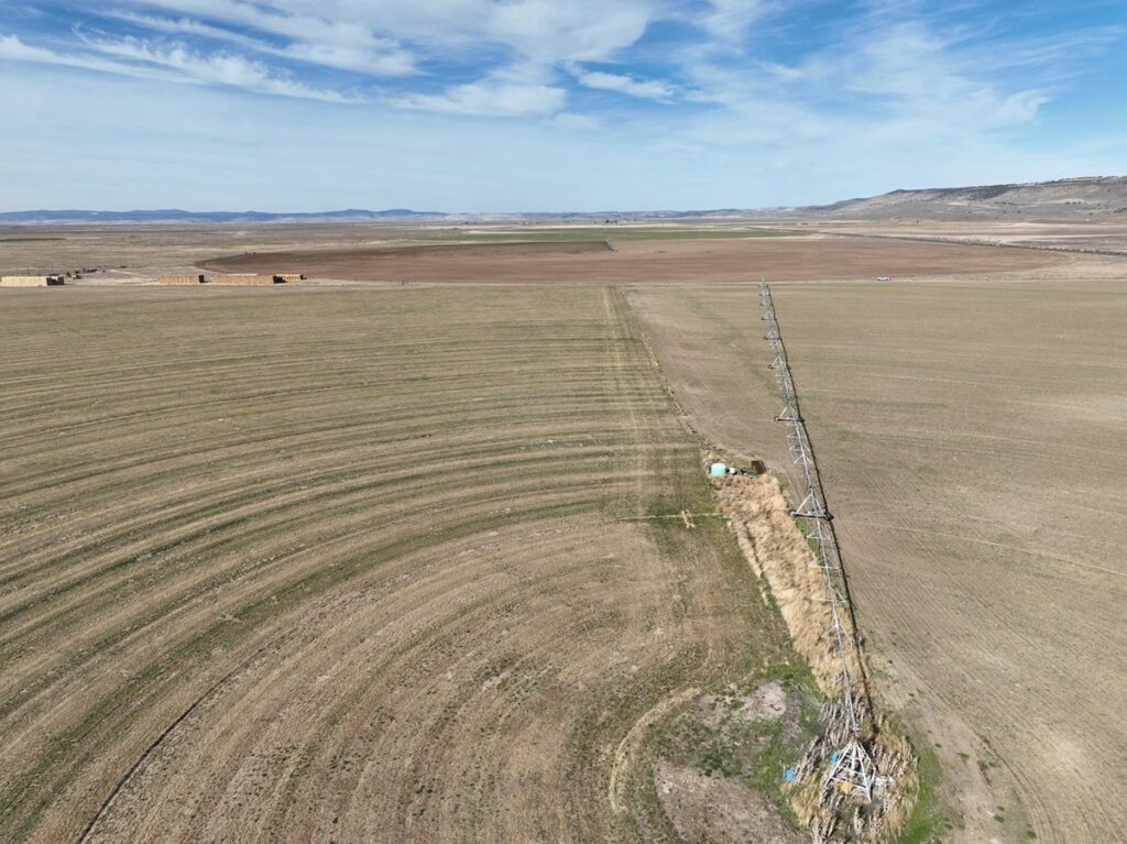
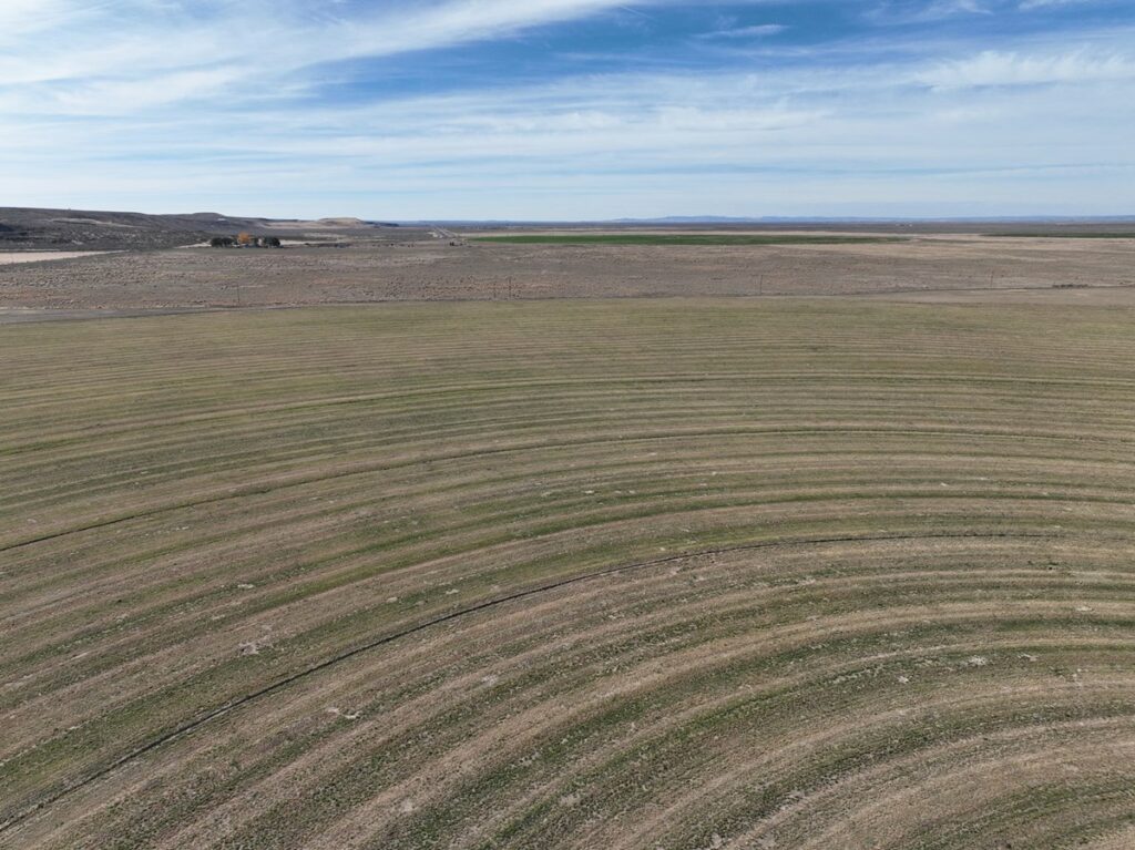
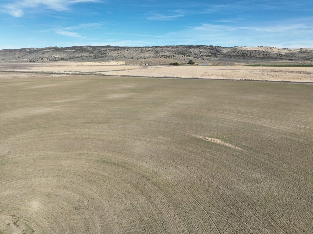
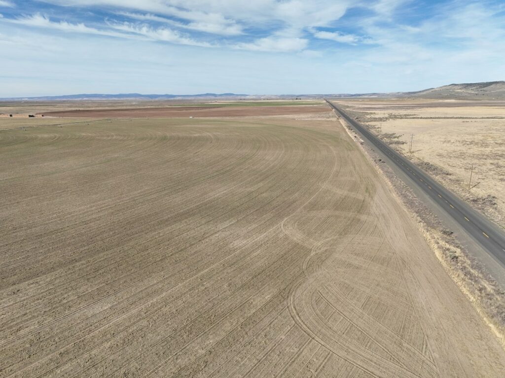
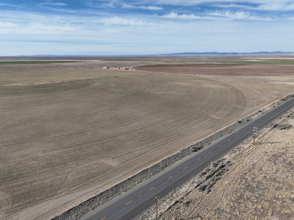
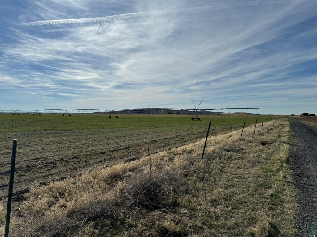
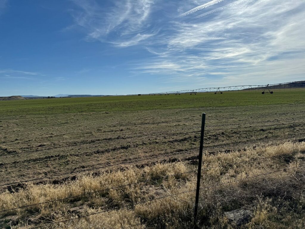
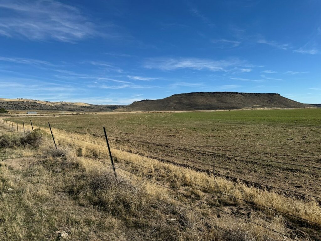
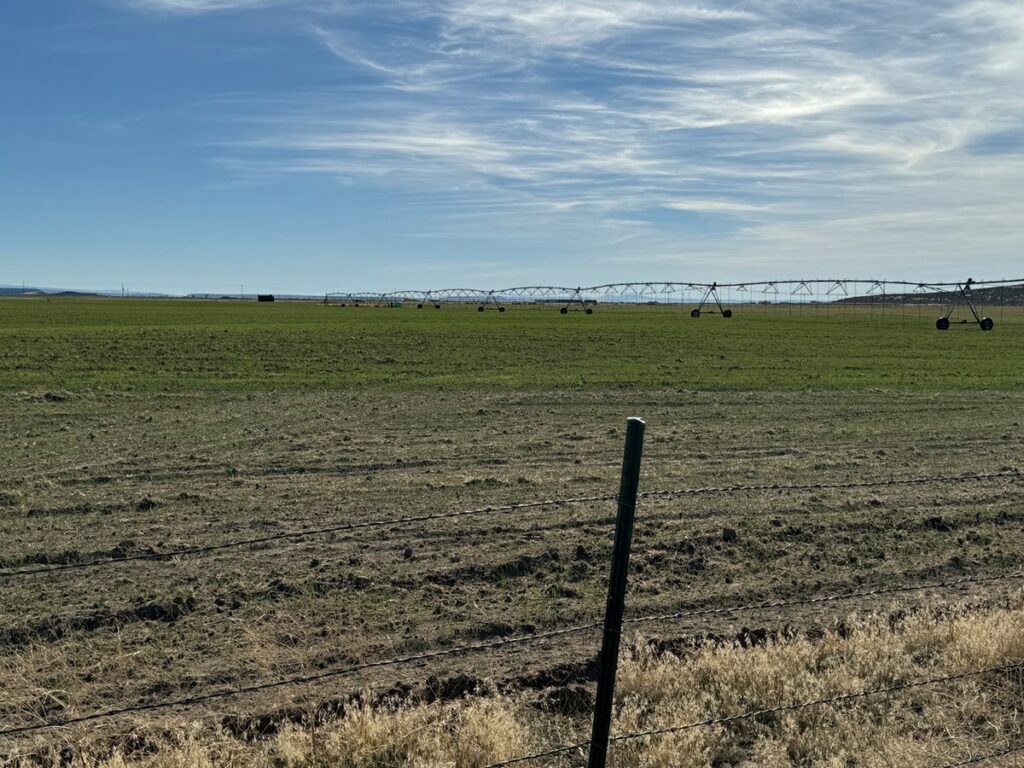
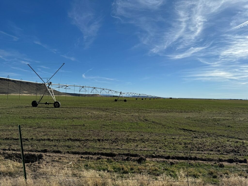
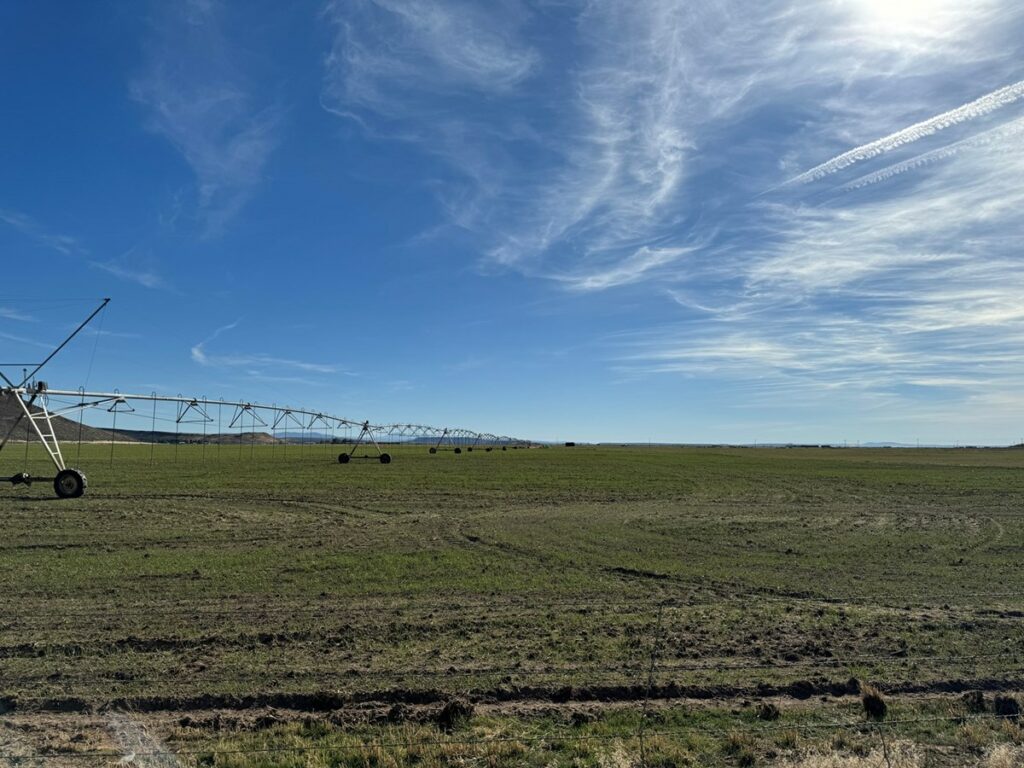
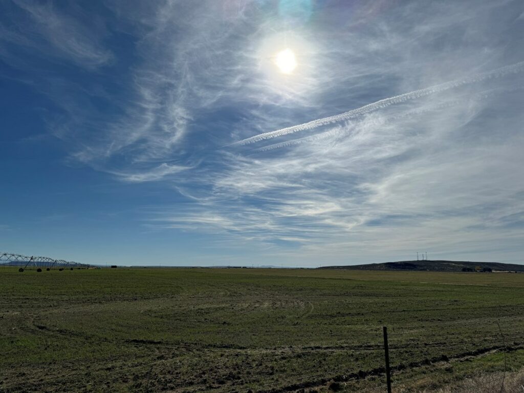
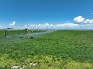
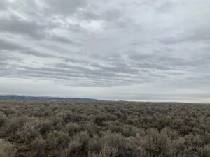
This Eastern Oregon farm features approximately 125 acres of pivot-irrigated land, supplied by two wells. It boasts an excellent location, bordered by a paved county road just 1.5 miles from Crane, Oregon. Crane is a small community offering basic amenities, including food, fuel, K-12 schools, limited groceries, and a local dining option. Burns, Oregon, is only about 30 minutes away and provides a wider range of services, including grocery stores, dining options, shopping, hospitals, and more. Additionally, the property is just a few minutes from the popular Crystal Crane Hot Springs.
With easy year-round access, this farm is well-suited for producing quality feed for a hobby farm or personal use.
LOCATION: Approximately 30 miles southeast of Burns Oregon along the Southern portion of Crane-Buchanan Rd
TAX LOT MAPS: 24S33E00-00-06903
ACREAGE:
157.20 +/- Deeded Acres – Per County Records
-125+/- Acres Irrigated by Pivots
-32.2+/- Acres of Pivot Corners & Dry Land
UTILITIES: Power – Harney Electric Coop
TAXES: $922.45
WATER RIGHTS:
Certificate Permit # #Prim. #Supp. Priority Source
93211 — 126.6 — June 27, 1990 Well
— G-16169 — 126.6 Jan. 17, 2006 Well
