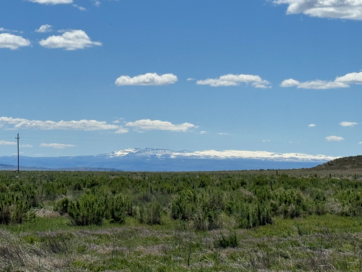
Scenic Eastern Oregon Farm
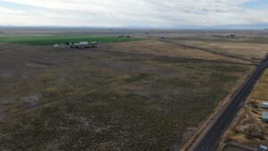
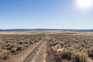
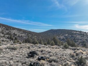
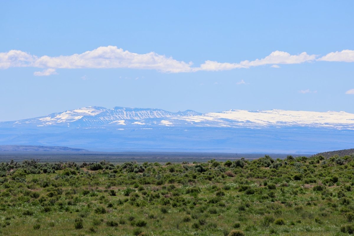
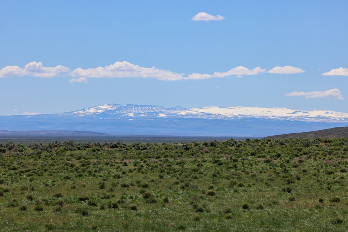
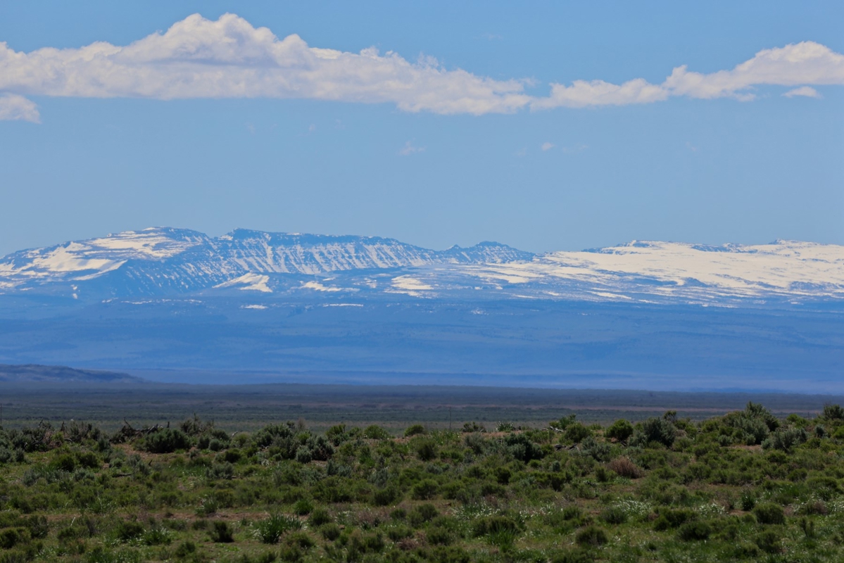
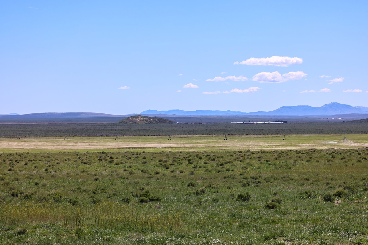
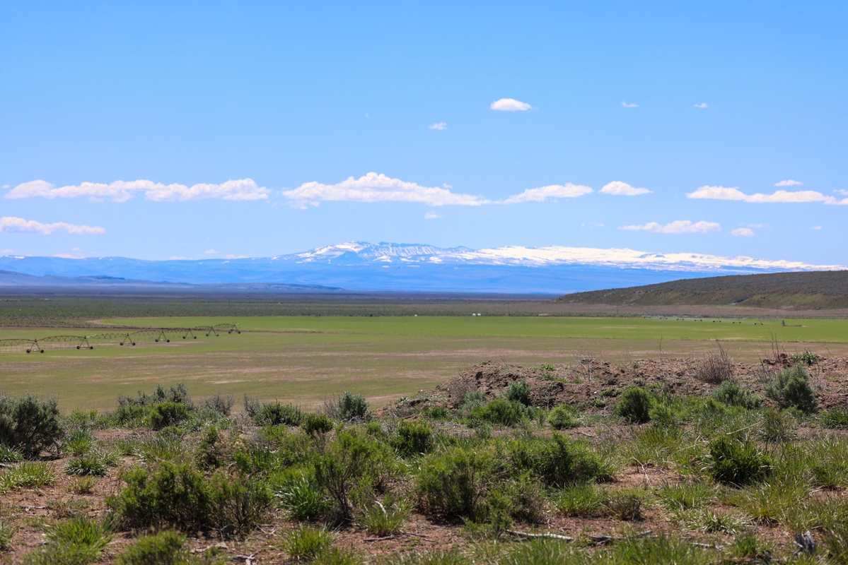
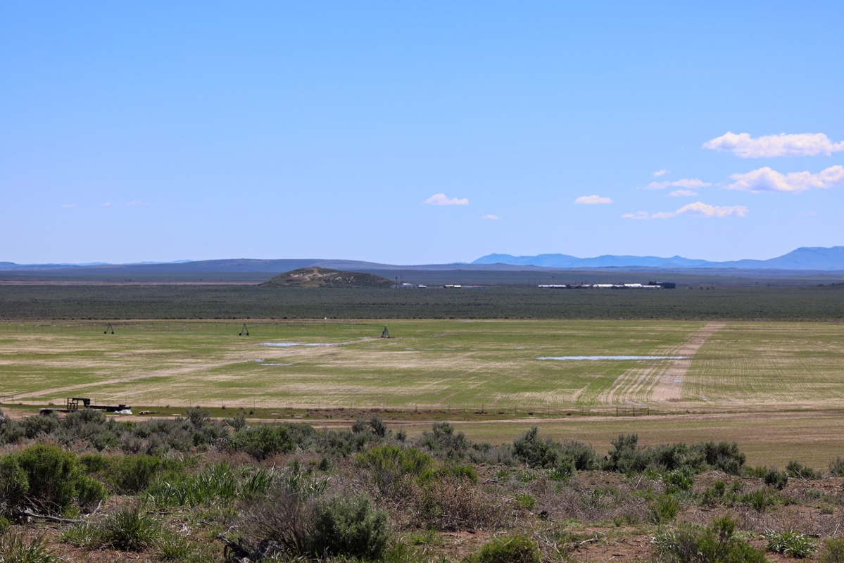
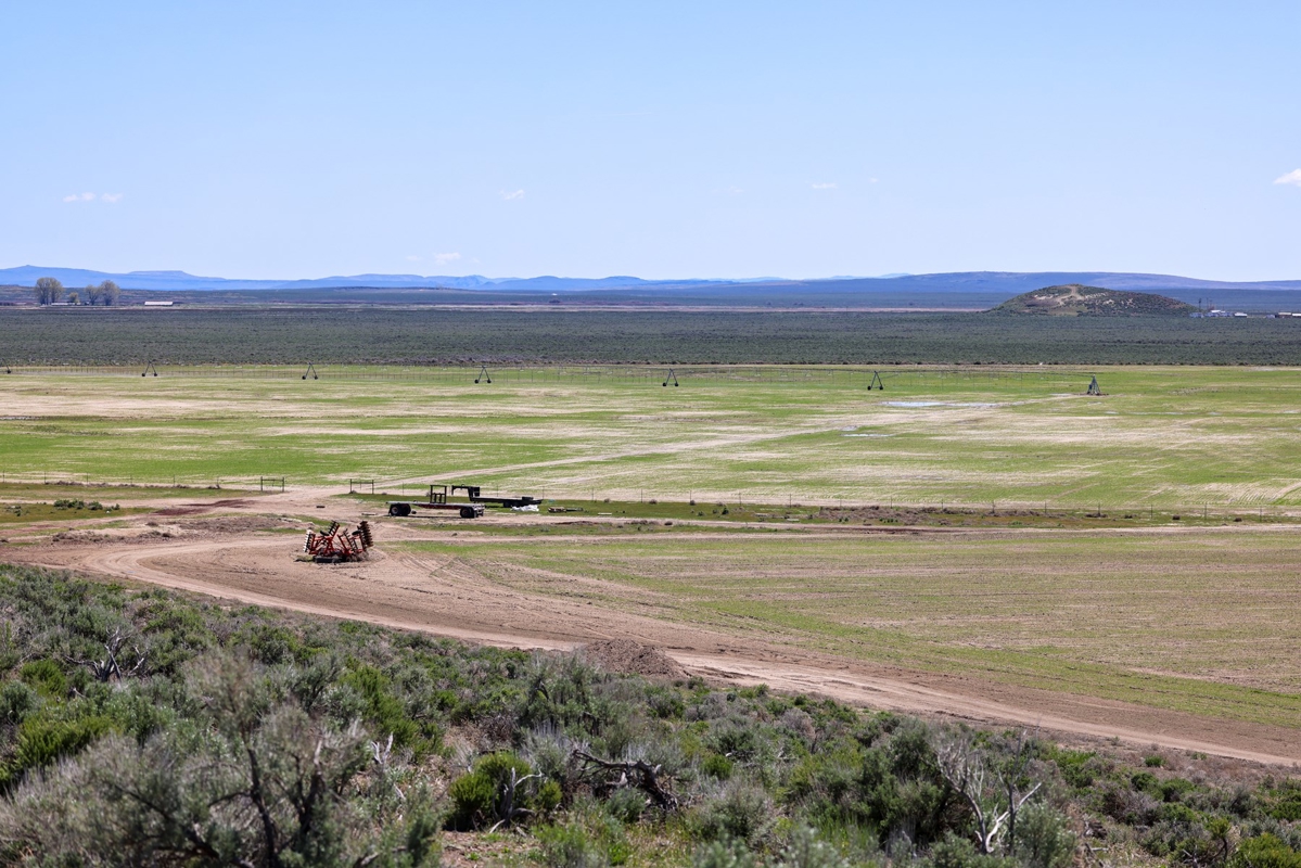
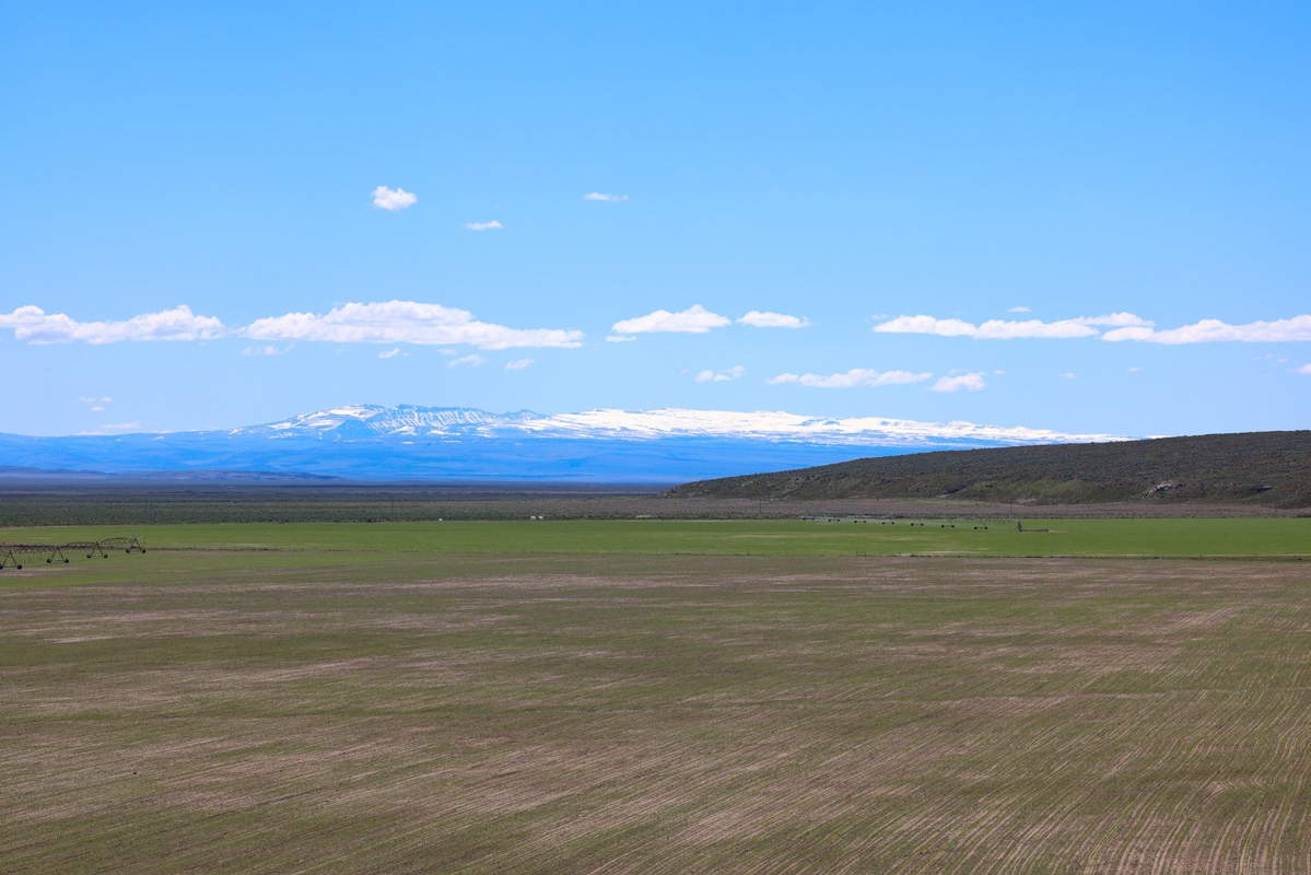
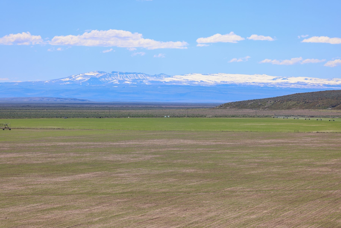
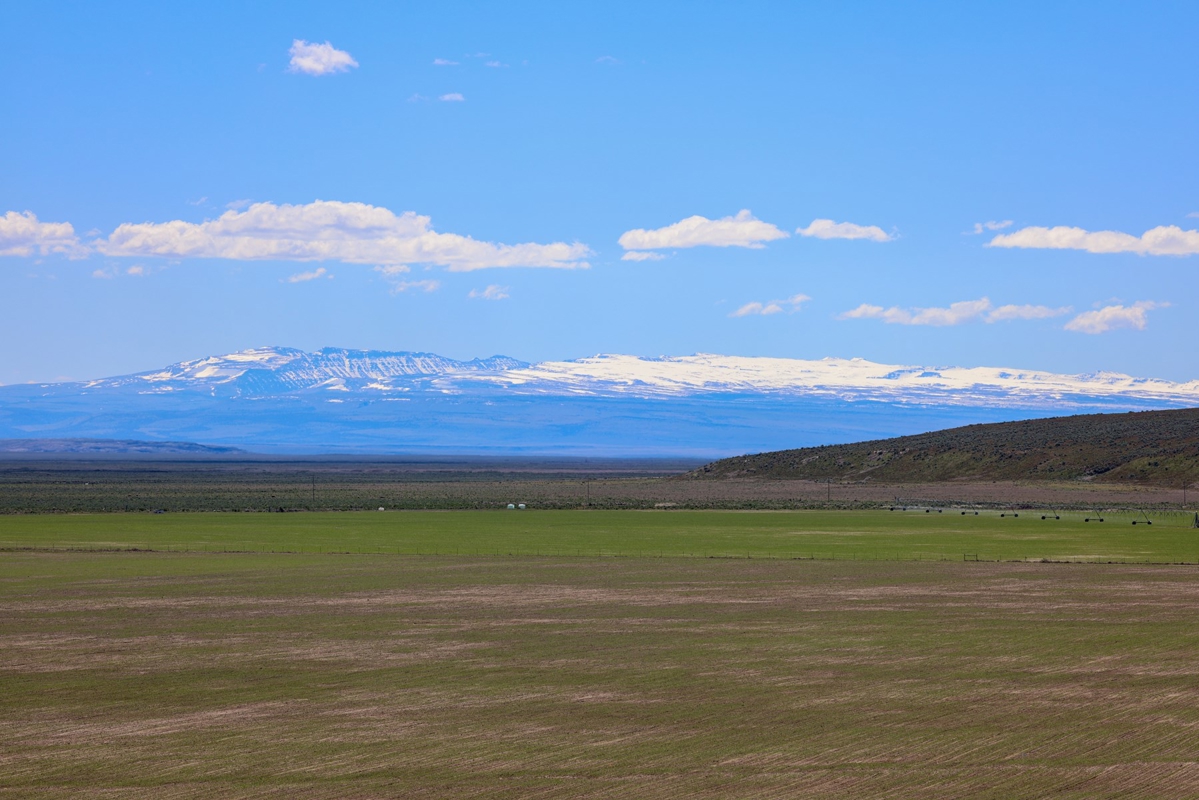
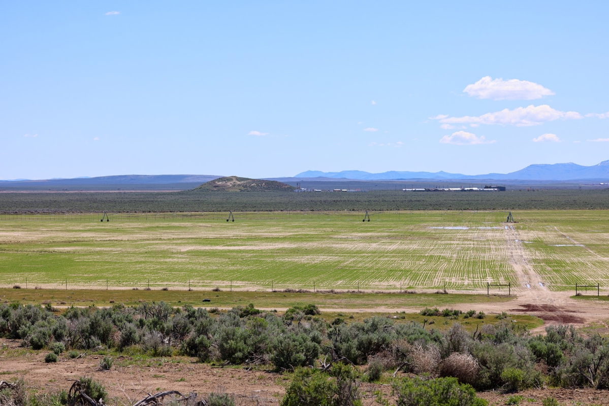
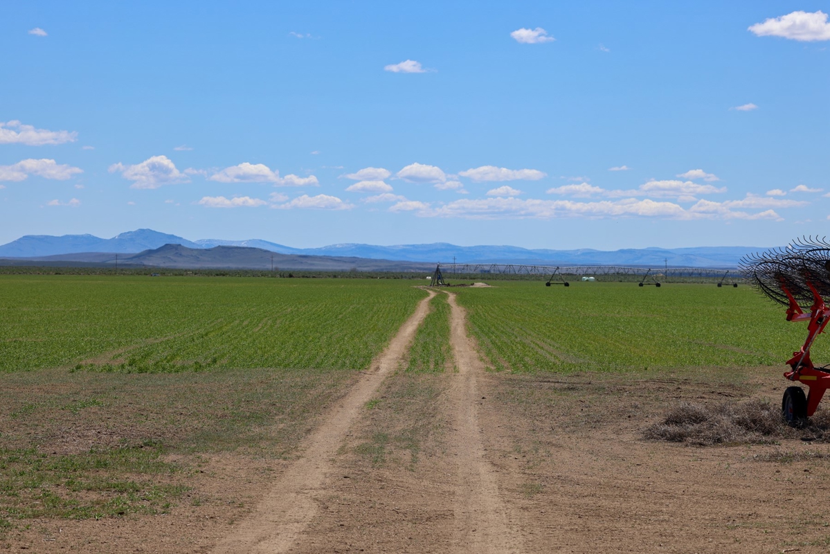
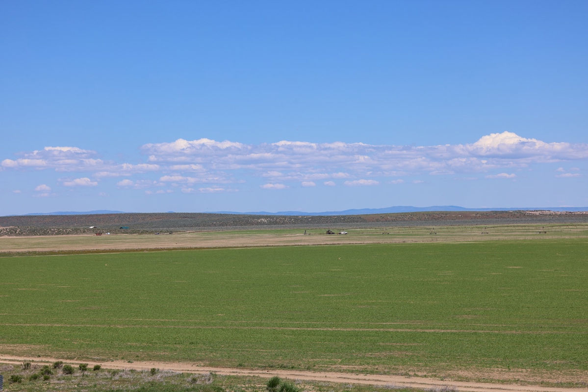
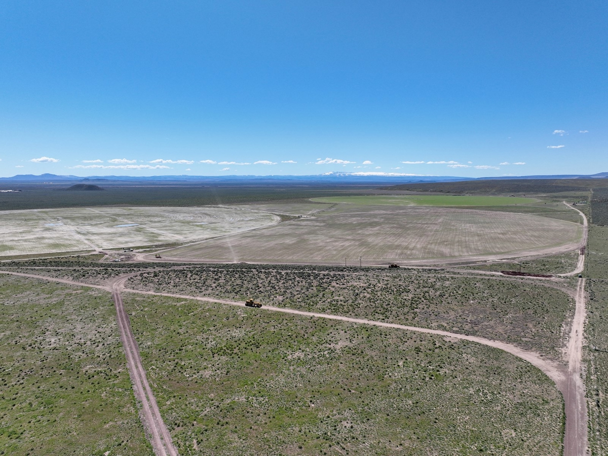
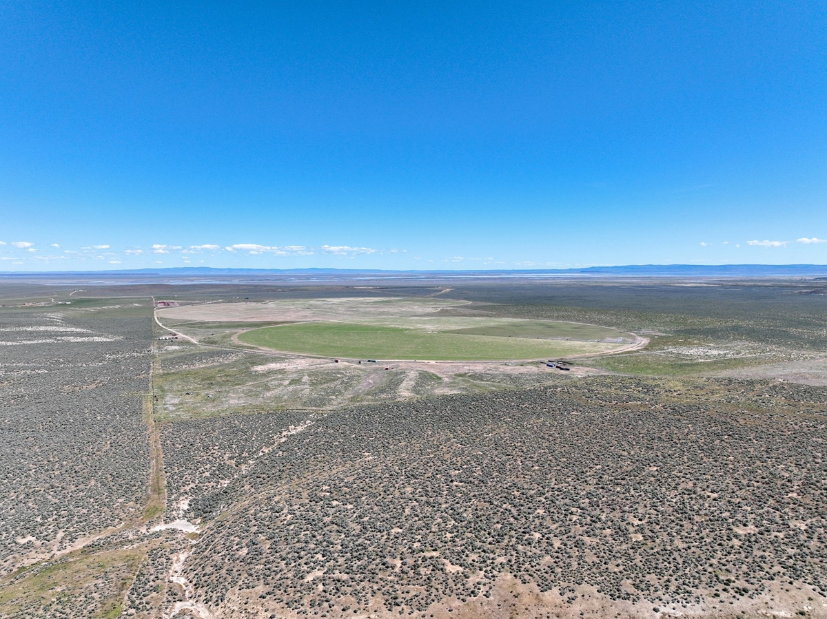
This remarkable 760-acre farm lies just south of Burns, Oregon, nestled in a picturesque valley framed by the majestic Steens Mountains. The landscape gently rolls with slight hillsides on the west and south portions, offering sweeping views over the fertile valley floor where the irrigated fields thrive. This Eastern Oregon farm presents a harmonious blend of natural beauty and agricultural vitality, with 340 acres under irrigation sustained by five wells, two of which provide hot water. The land is richly productive, currently planted with a diverse mixture of oats, peas, turnips, clover, and annual grasses. Bordering thousands of acres of public BLM land as well as the Malheur Wildlife Refuge, this property offers a rare combination of privacy, open space, and abundant wildlife opportunities.
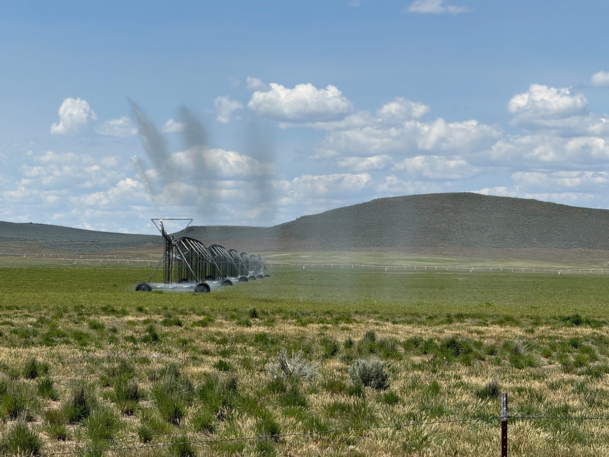
Water and Irrigation Features
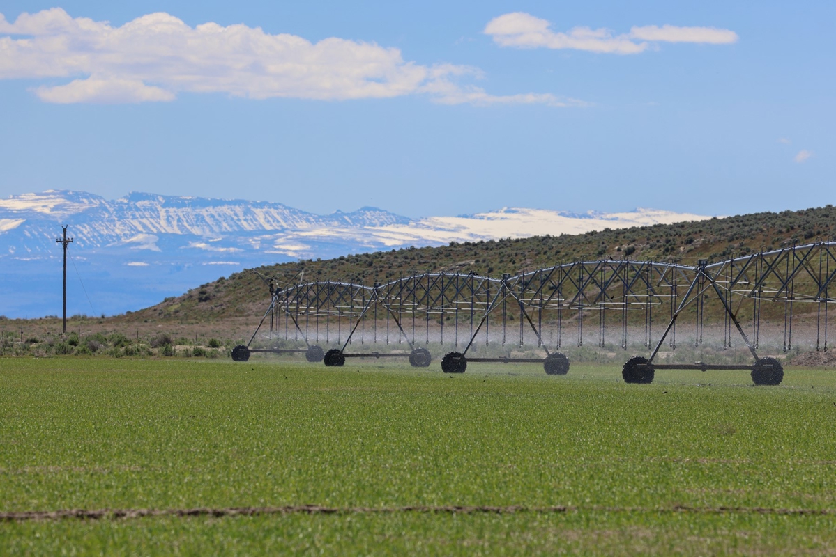
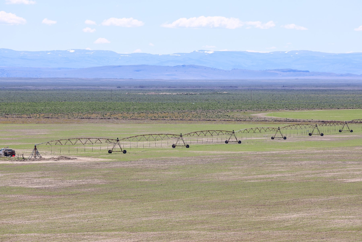
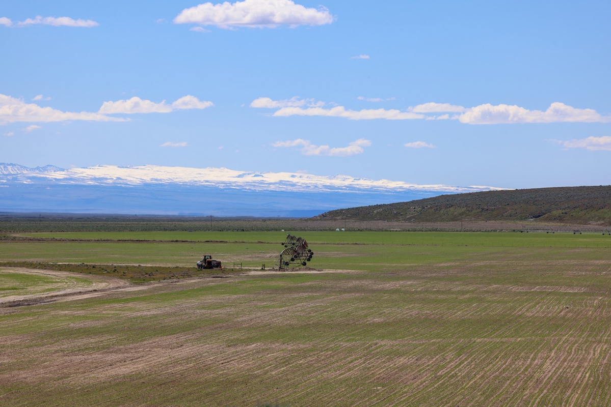
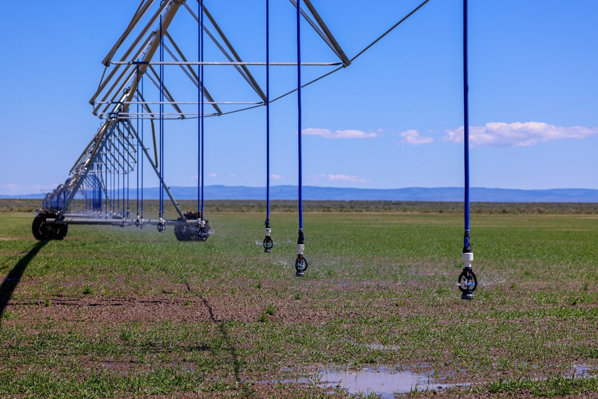
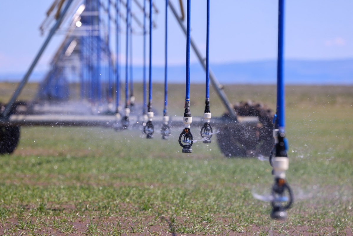
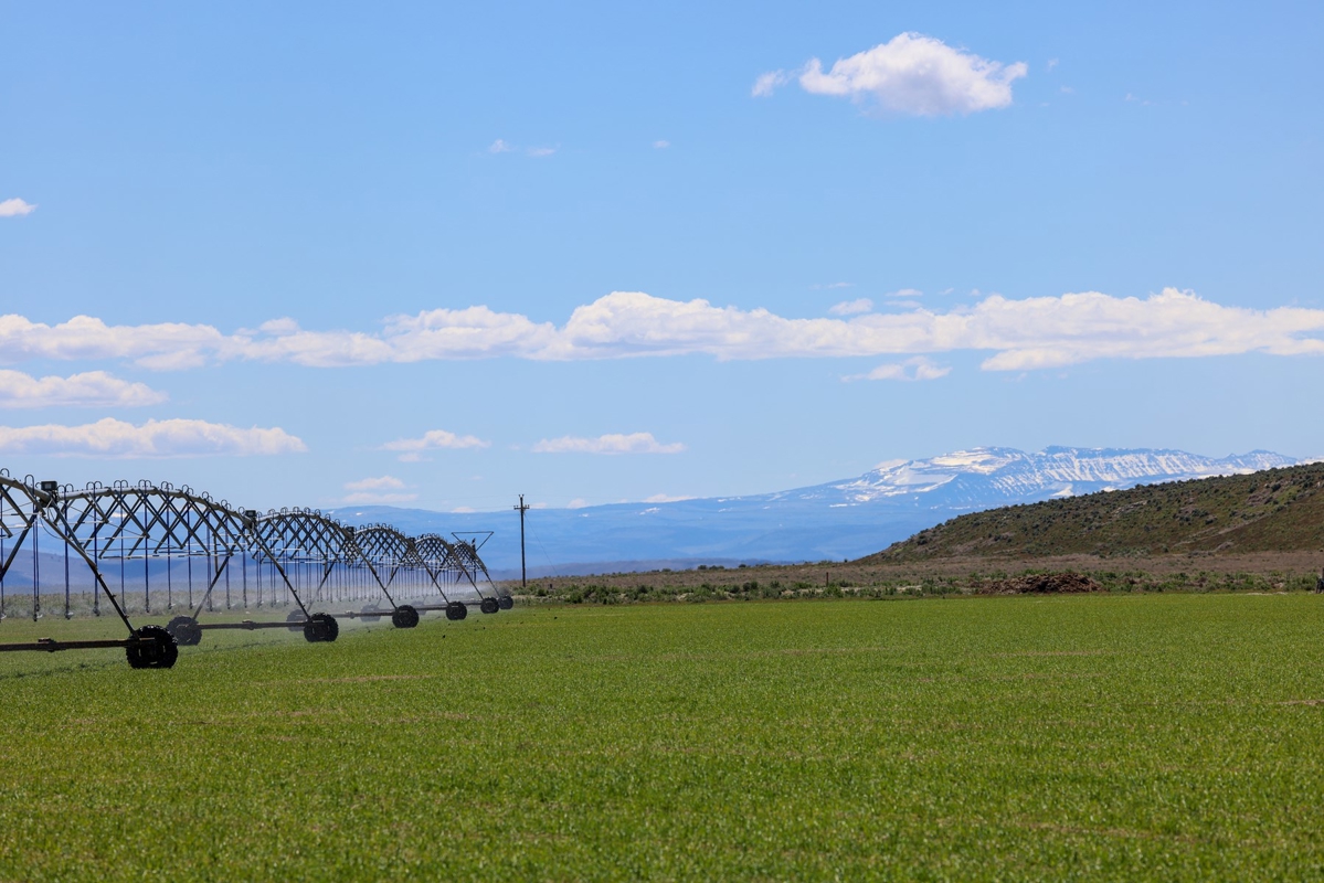
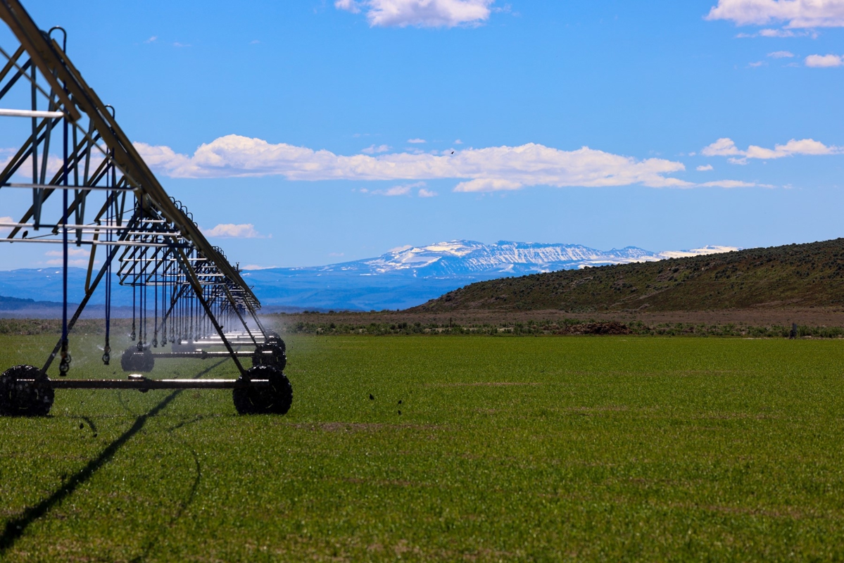
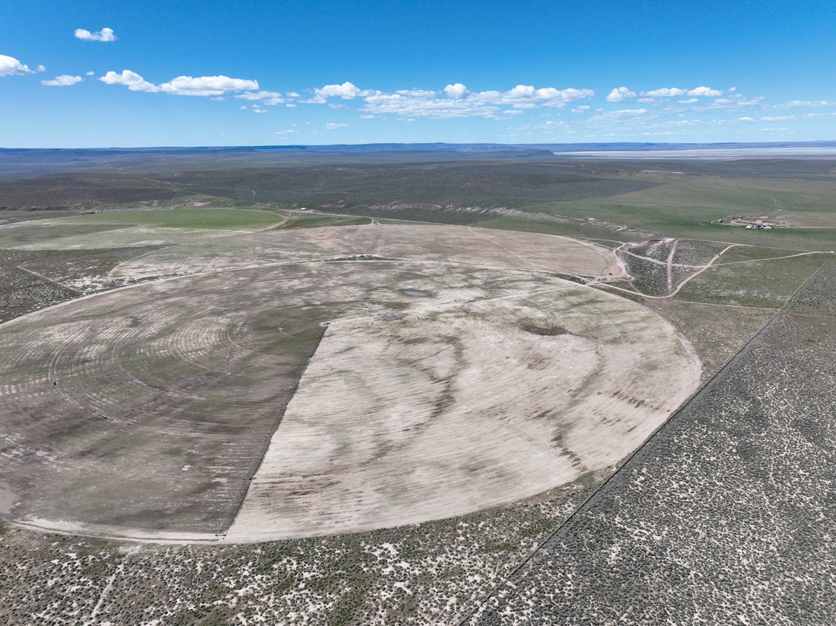
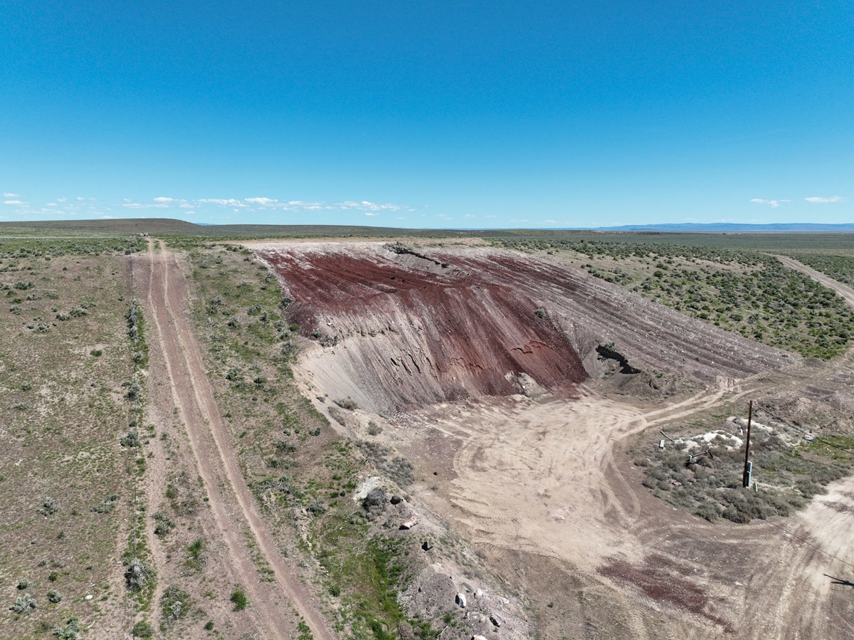
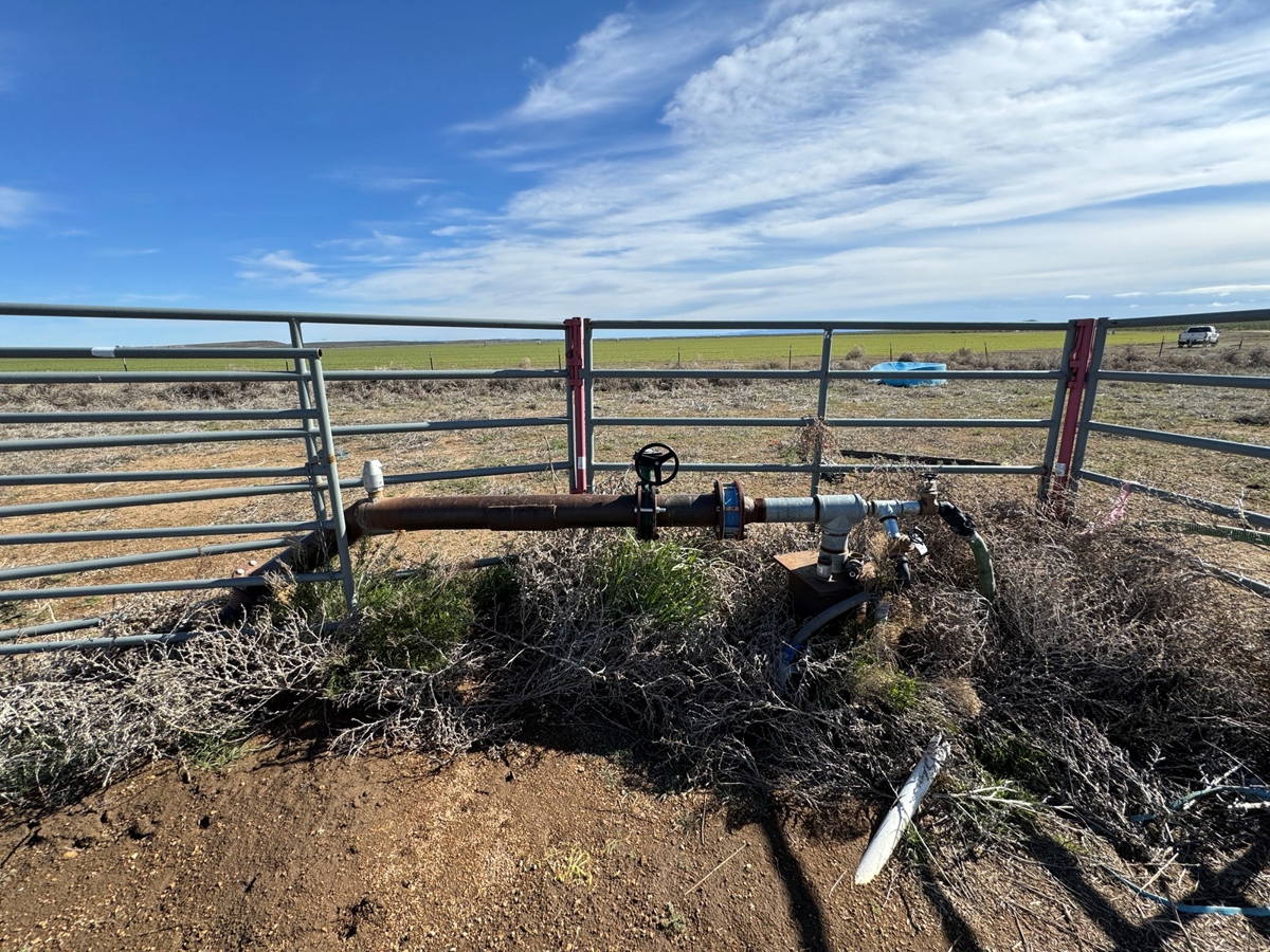
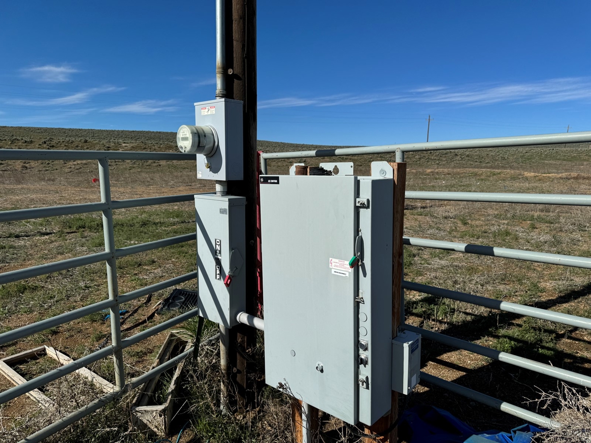
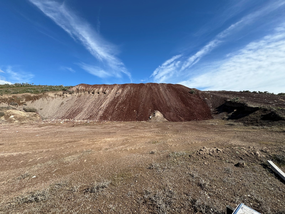
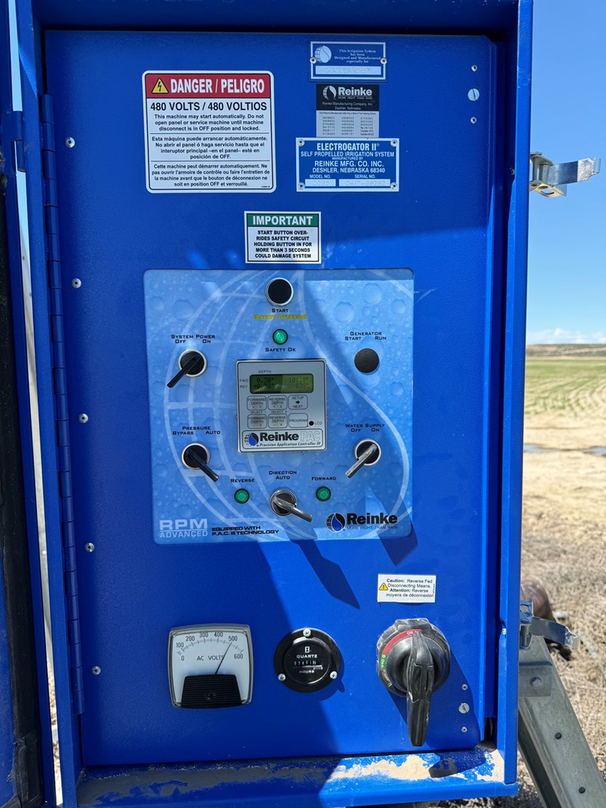
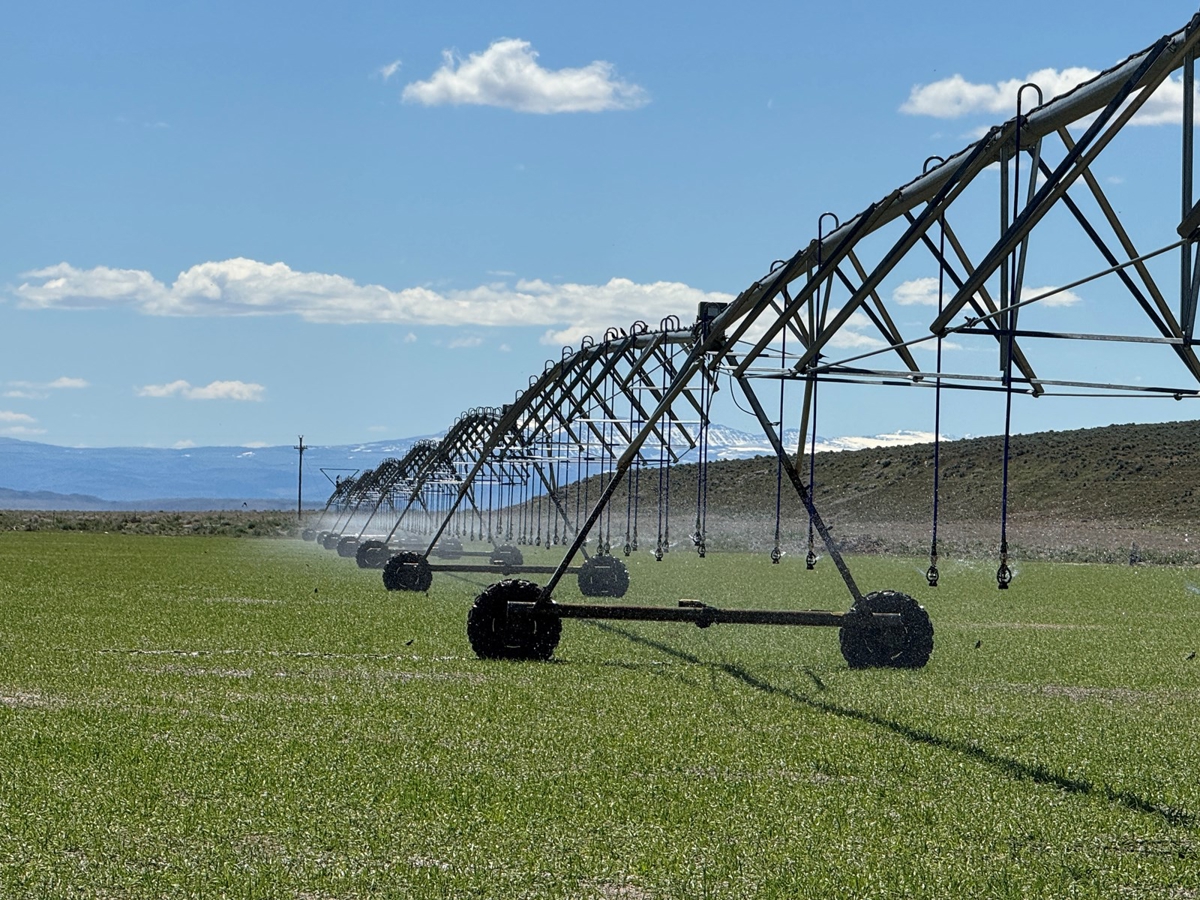
Water rights on this farm include a total of 340 acres irrigated through three efficient pivots—two Reinke and one Zimmatic—one equipped with a LESA system to optimize water use by reducing evaporation. The pivots are interconnected by mainlines and linked to five wells, ensuring consistent irrigation across the productive fields. The longer growing season here, due to a warmer local climate, favors hay and alfalfa production, setting this property apart from other nearby farms. A private cinder pit on the deeded land provides material for roads and pivot track maintenance, demonstrating the property’s self-sufficiency and thoughtful infrastructure.
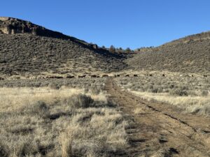
Improvements and Livestock Facilities
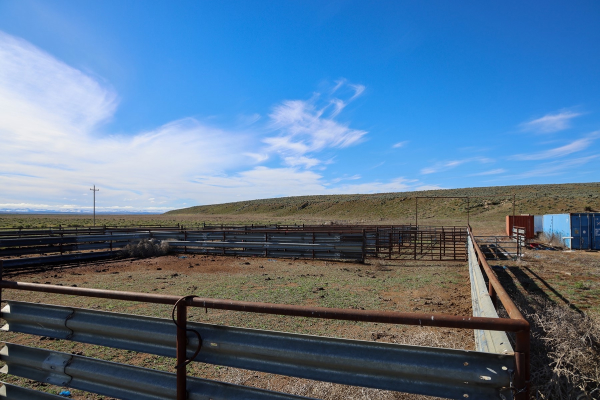
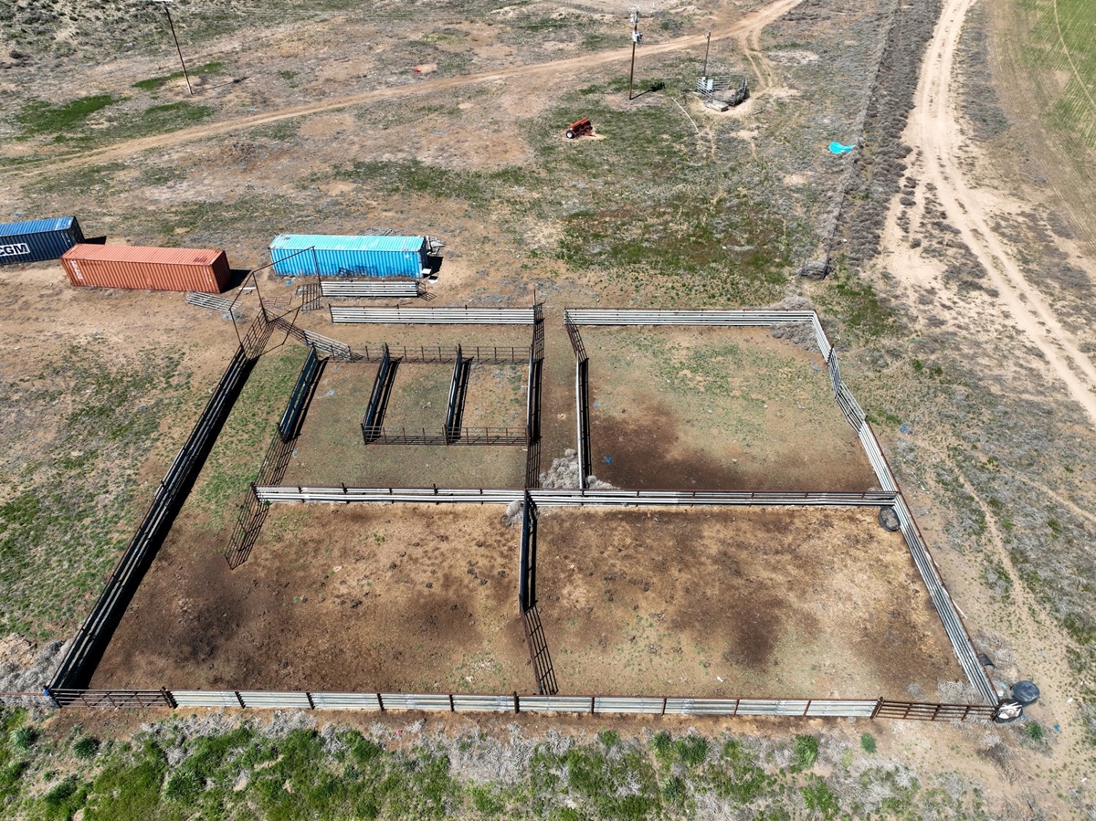
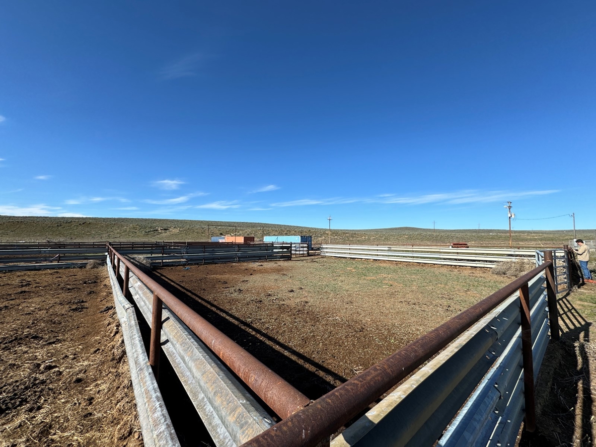
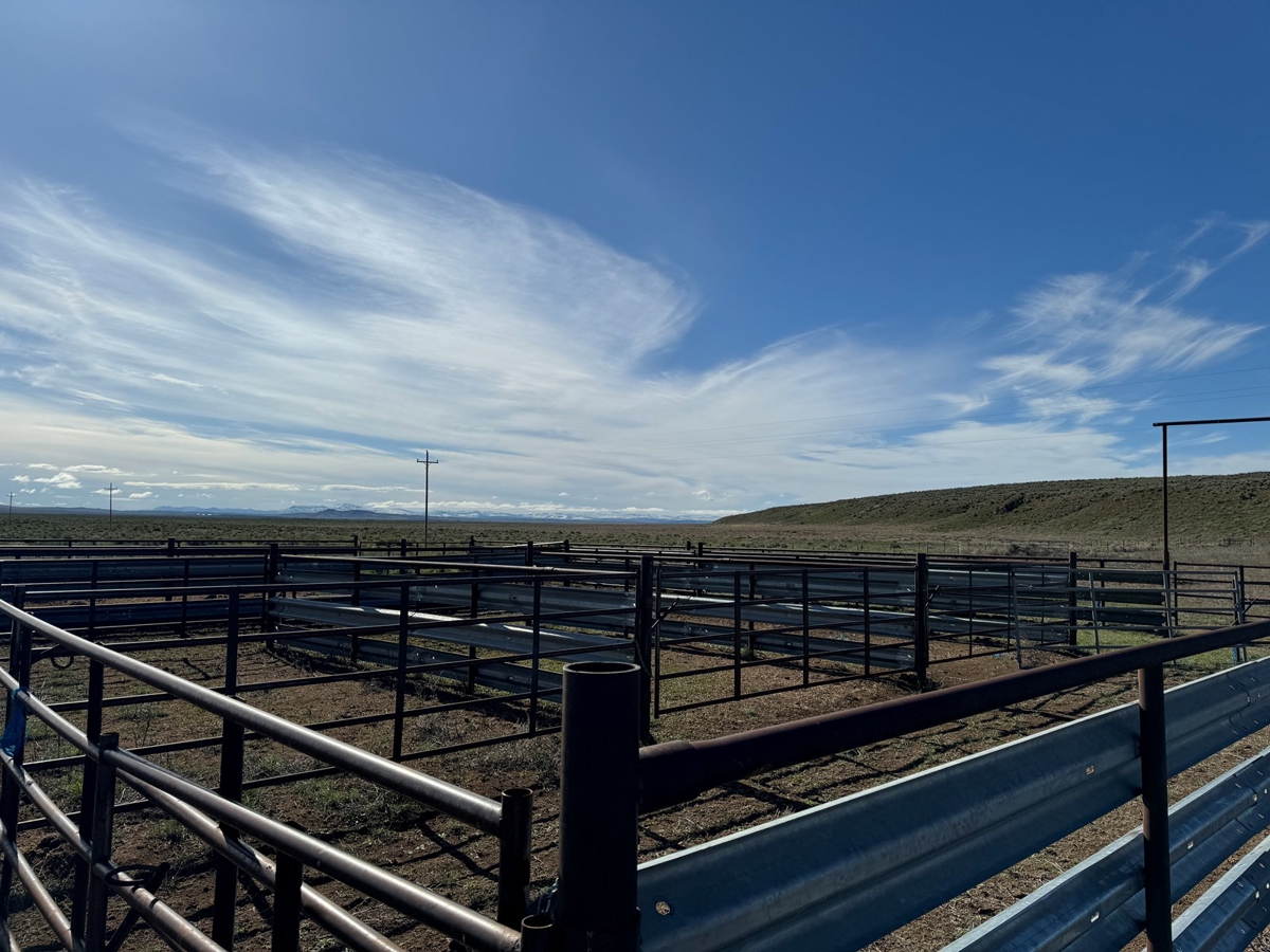
On-site improvements include a functional bunkhouse, used primarily during calving season, offering convenient lodging close to the fields and pastures. The farm also features a sturdy set of steel working corrals, designed with alleys connecting various grazing pastures to facilitate efficient cattle handling and sorting. A portable loading chute currently aids livestock management. These facilities reflect careful planning to support a productive and well-managed ranching operation.
Legal and Land Details
Legally described as T27S R31E W.M., Tax Lots 503, 1200, and 1300, this farm comprises approximately 760 deeded acres, including 340 acres of pivot-irrigated land, 418 acres of dryland pasture, and 2 acres dedicated to improvements. Water rights certificates cover 130 and 210 acres respectively, with priority dates from 2002 and 2008, both sourced from wells. The property benefits from farm deferral tax status, reflecting its agricultural use and contributing to manageable ownership costs.