Countries
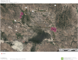
Harney Cty
Share
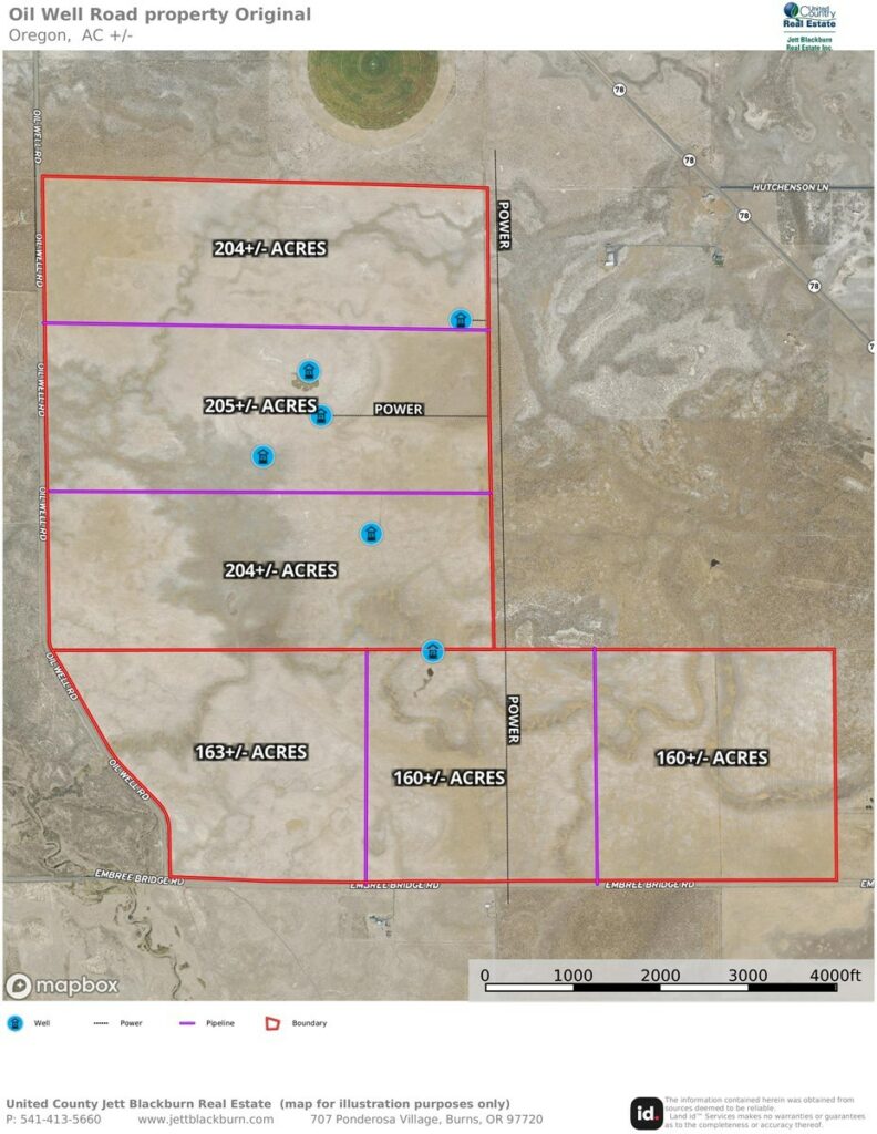
Oil Well Acreage
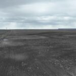
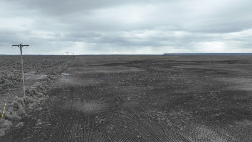
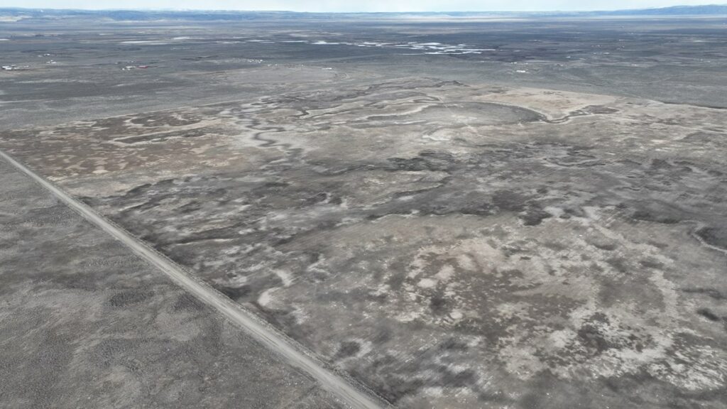
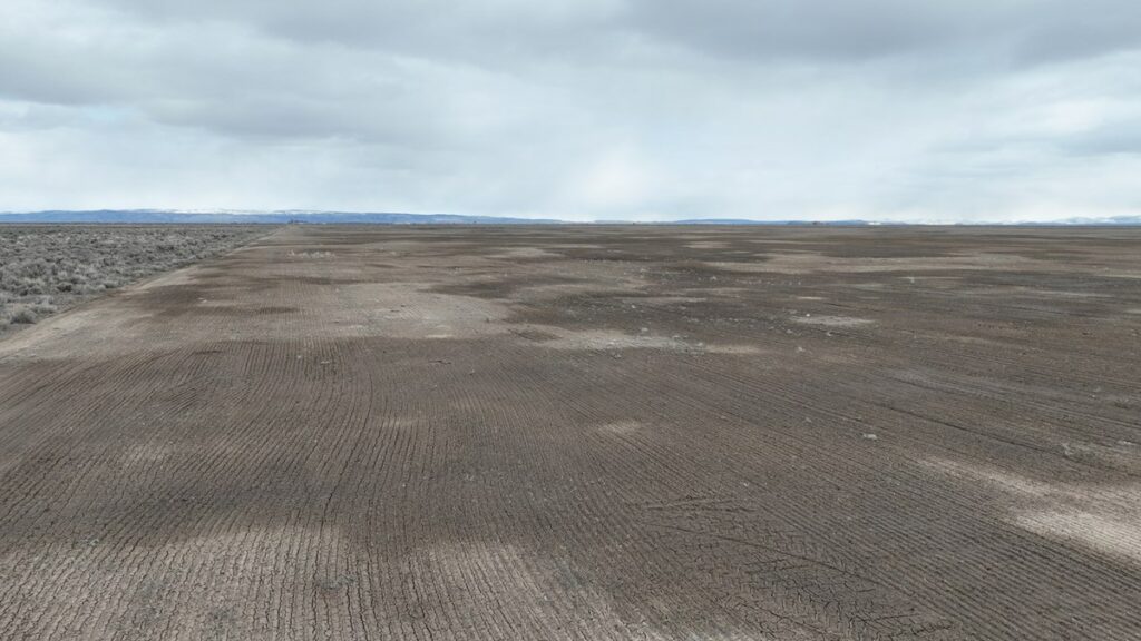
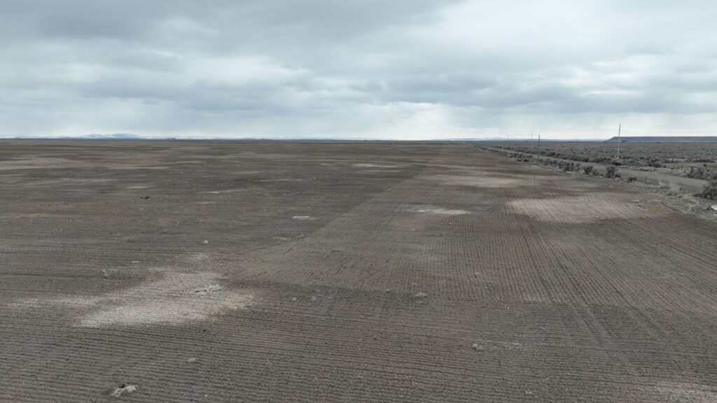
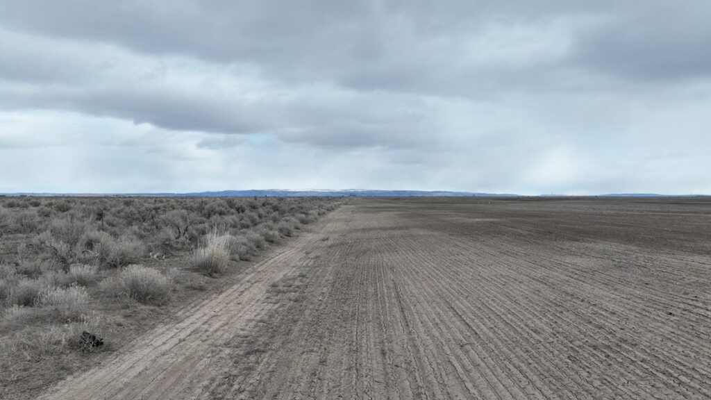
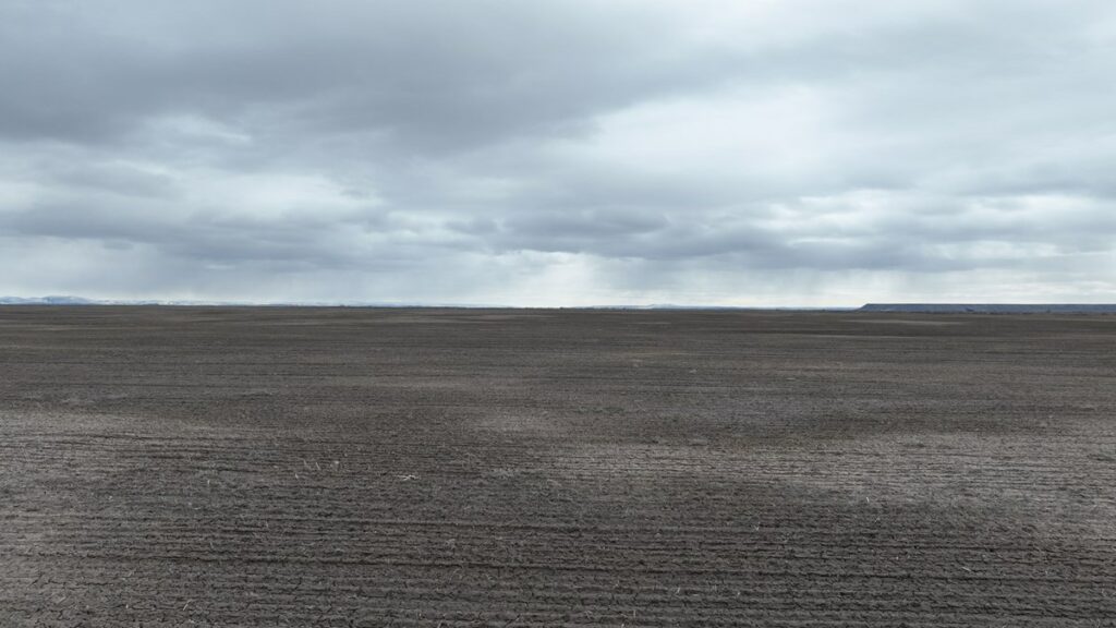
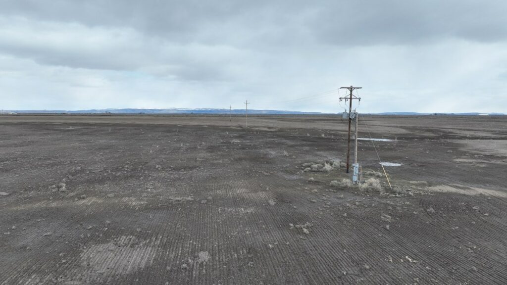
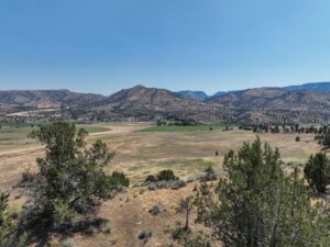
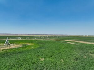
This Eastern Oregon parcel presents an opportunity for you to create your own complete ranchette. Located roughly 15 minutes southeast of Burns & the nearest amenities, access is available off Highway 78 on two county roads of Embree Bridge & Oil Well Rd. The perimeter of the property is enclosed by perimeter fencing & the land was recently planted into triticale hay.
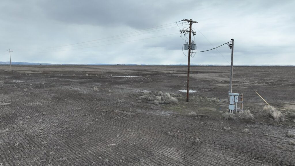
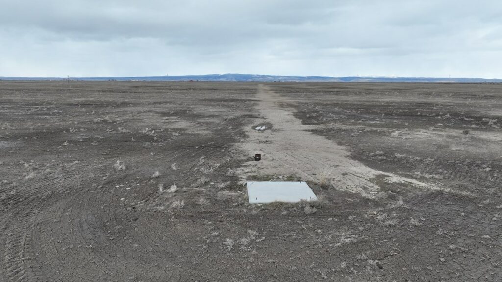
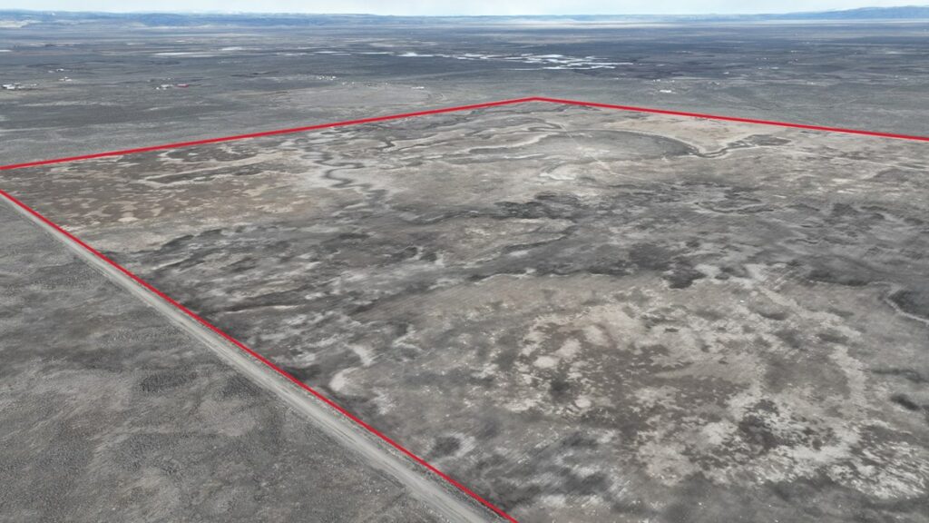
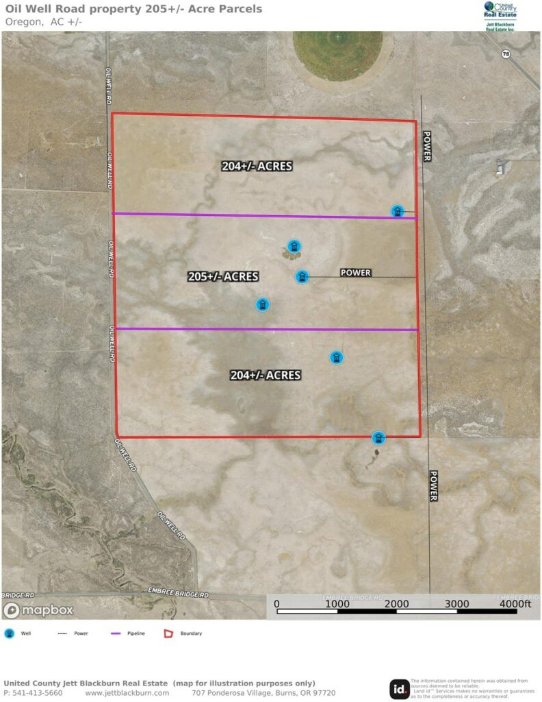
Throughout the acreage there are various locations of wells and where power can be found making various potential homesites for buyers. The current owner is in the process of splitting the acreage into 3-205+/- acre parcels allowing for development, see the map for further information regarding utilities and parcels
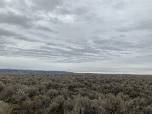
With the distance from town & the size of the acreage Buyers have a great opportunity to create their own ranchette with the peace & quiet of the high desert.
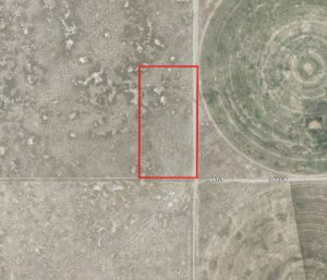
TAX LOT MAPS: T24S R30E W.M. SEC 9 & 16 TL 3100 ACREAGE: 614.86+/- Deeded (3 parcels of approx. 205+/-acres) UTILITIES: Power & wells – See map for reference TAXES: $2,386.65 (This will be different subject to partition) PRICE: $170,000 per parcel
Land for Sale /
Listing Agent
CONTACT AGENT
Welcome to UC Land
Lost your password? Reset it here.
Don't have an account? REGISTER HERE.
Please enter your email address or username. You will receive a link to create a new password via email.
Email Address or Username
Register with UC Land