Countries
Harney Cty
Share
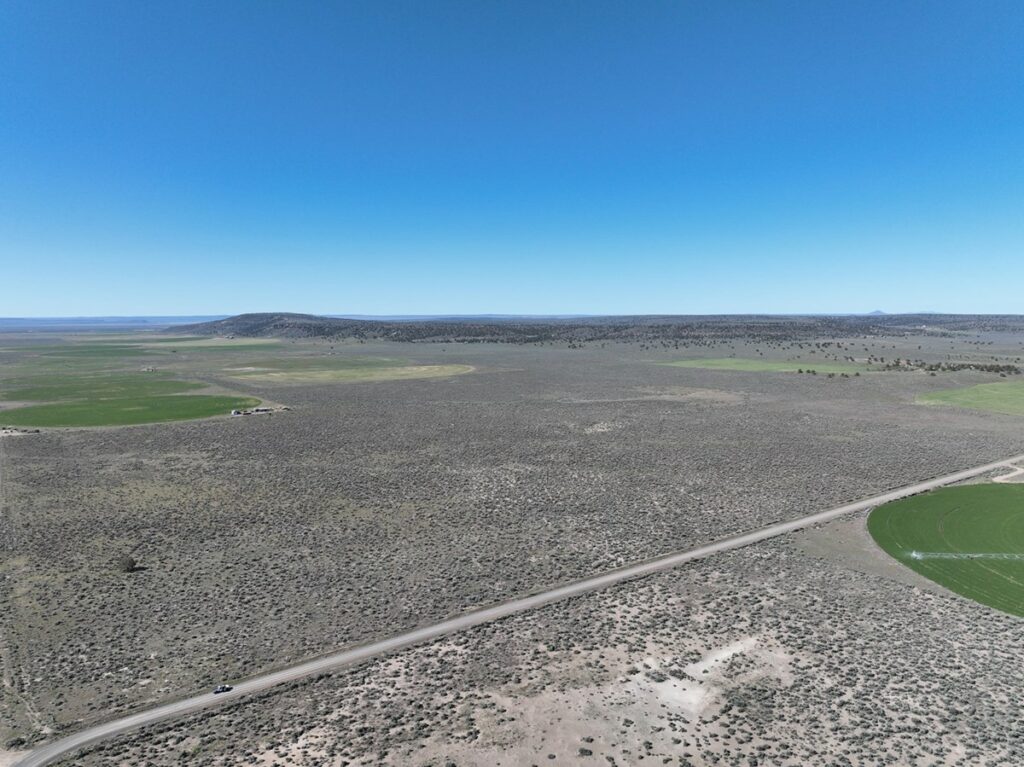
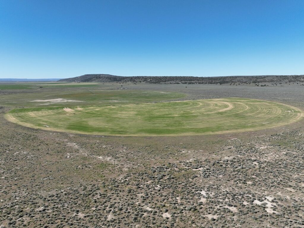
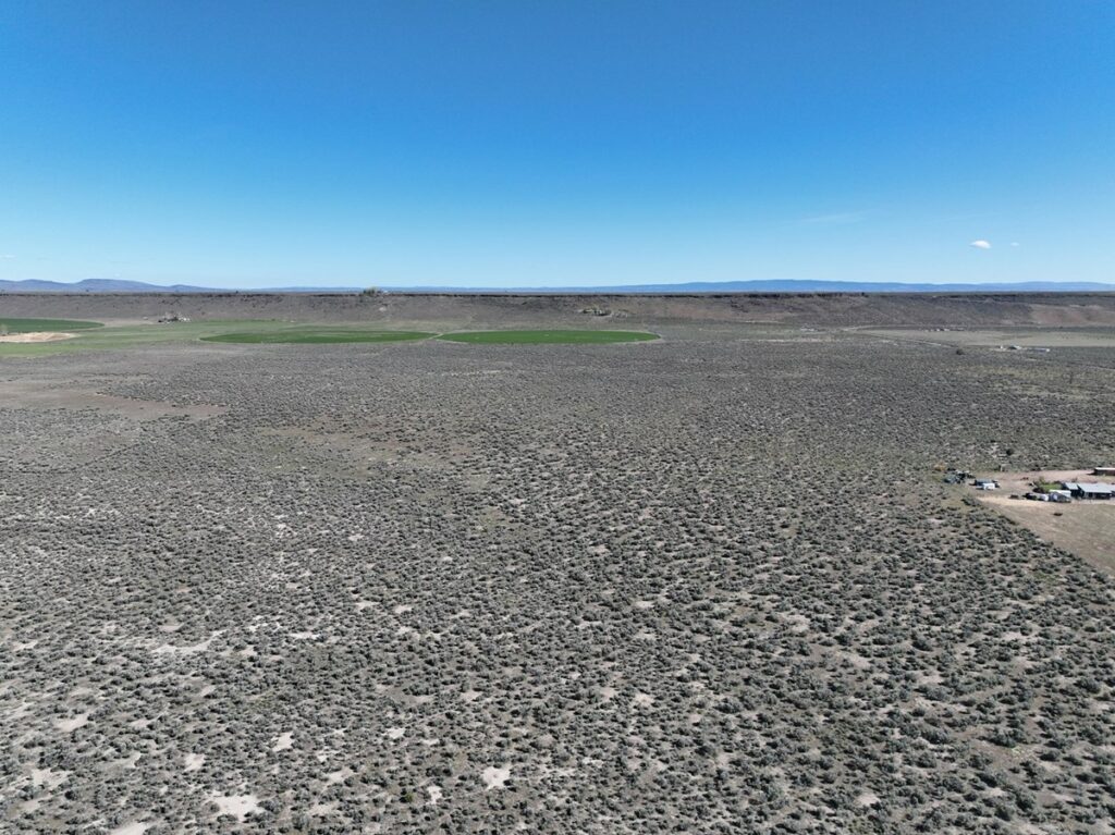
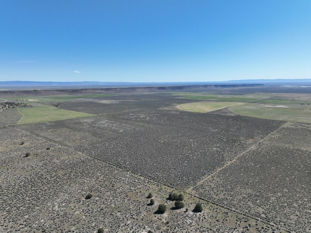
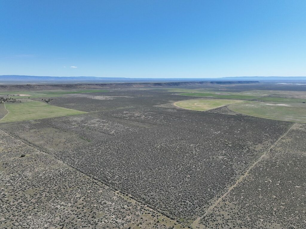
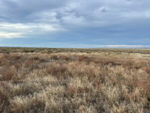
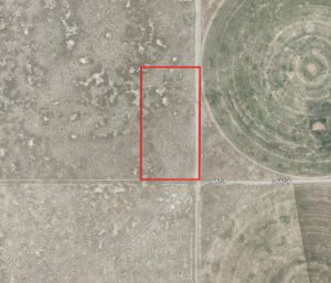
Sunset Lane Parcel – Sunset Valley Rd
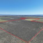
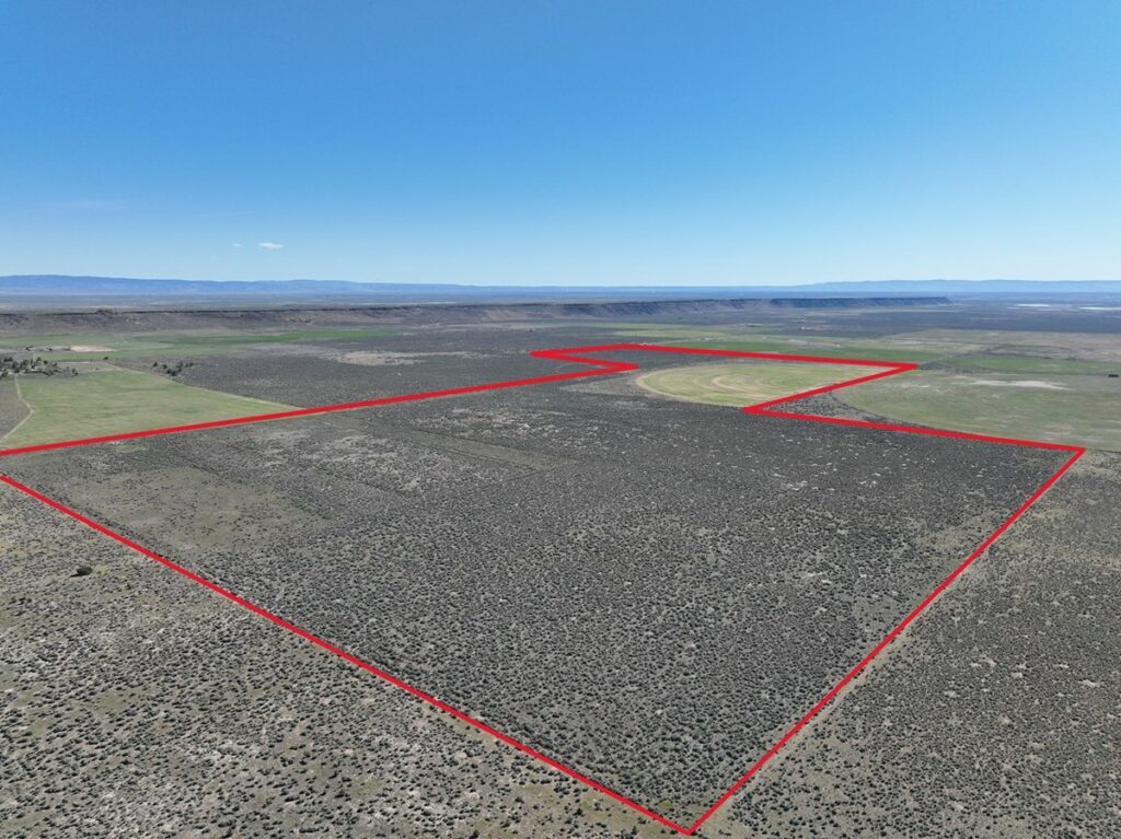
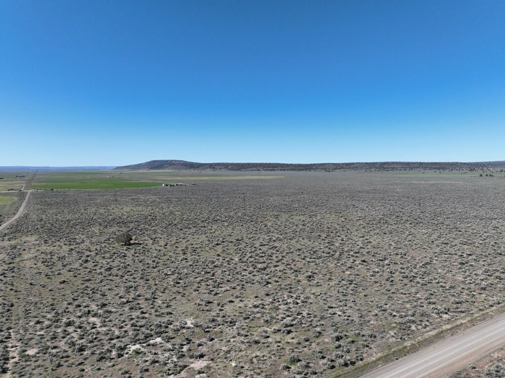
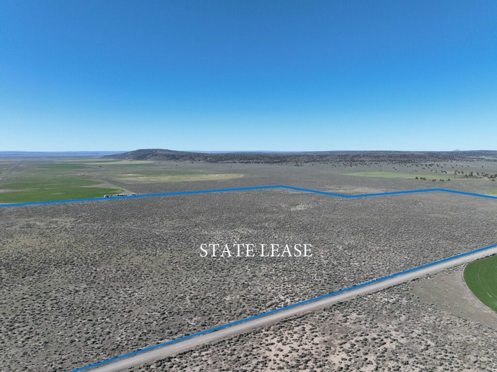
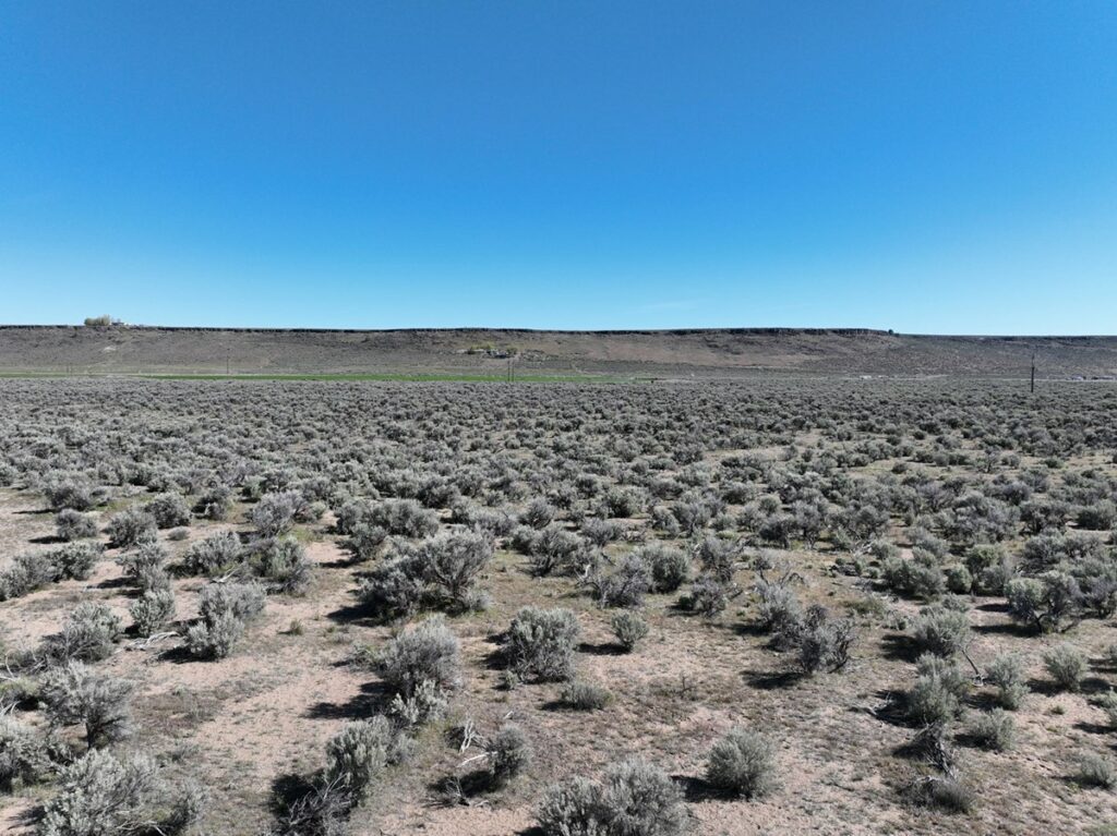
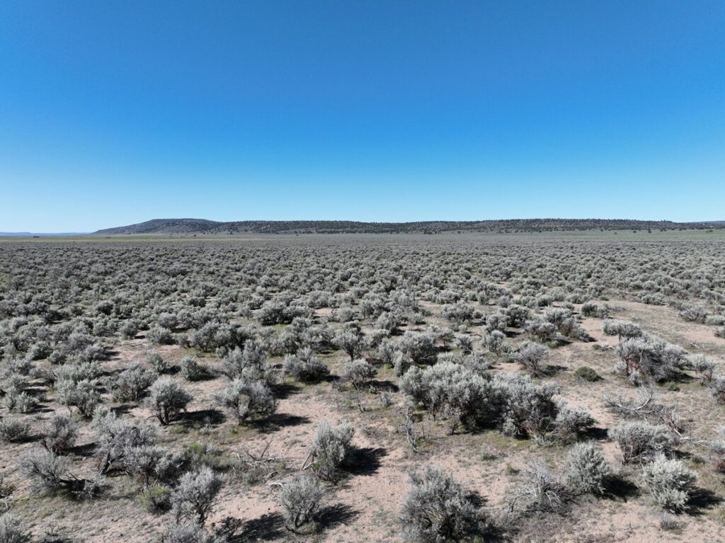
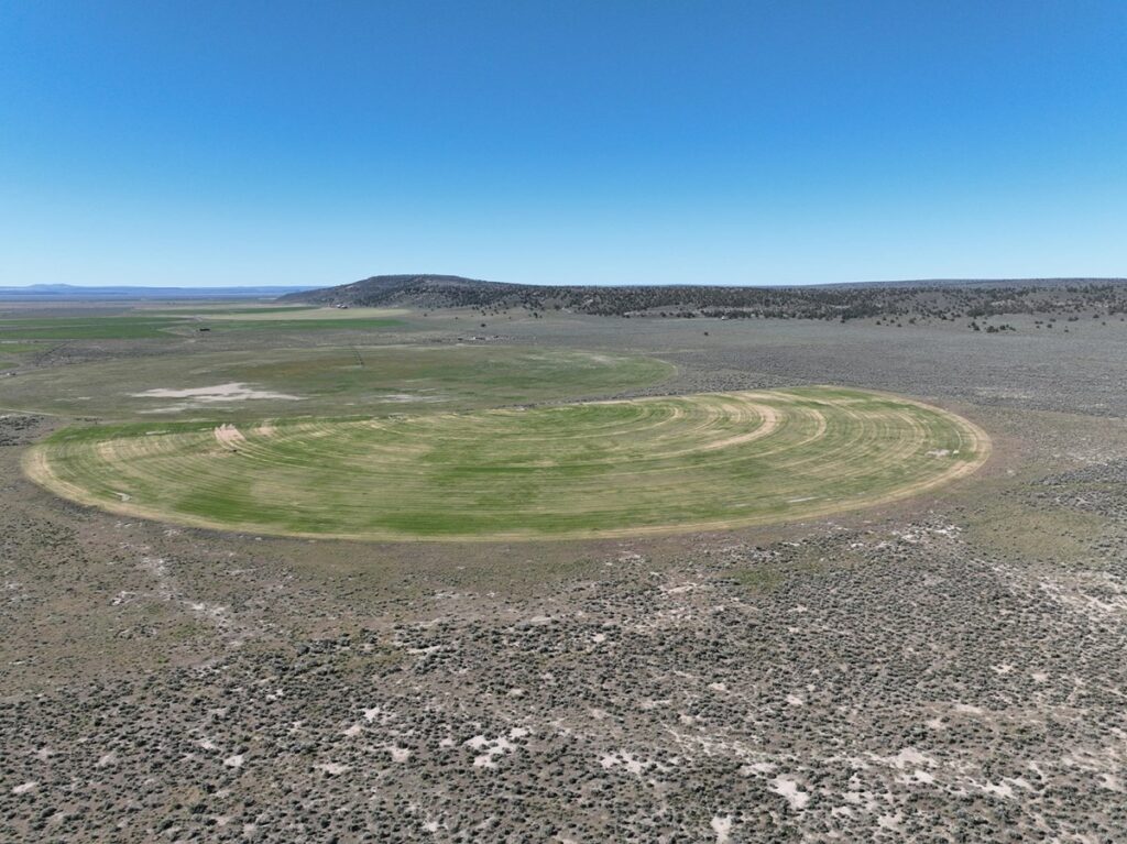
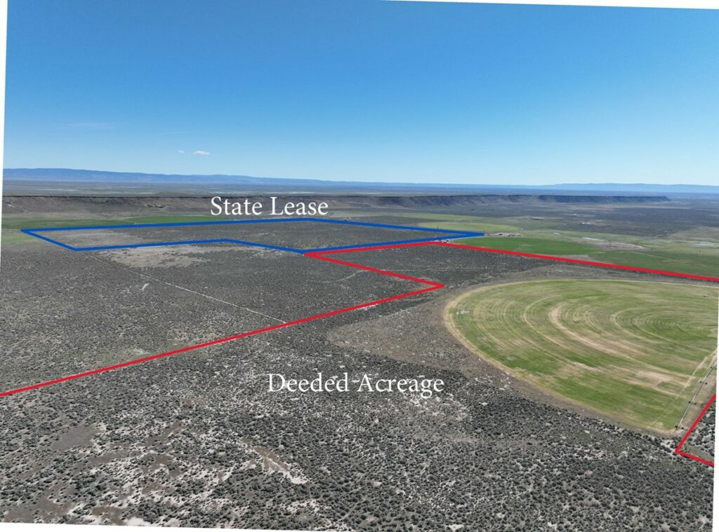
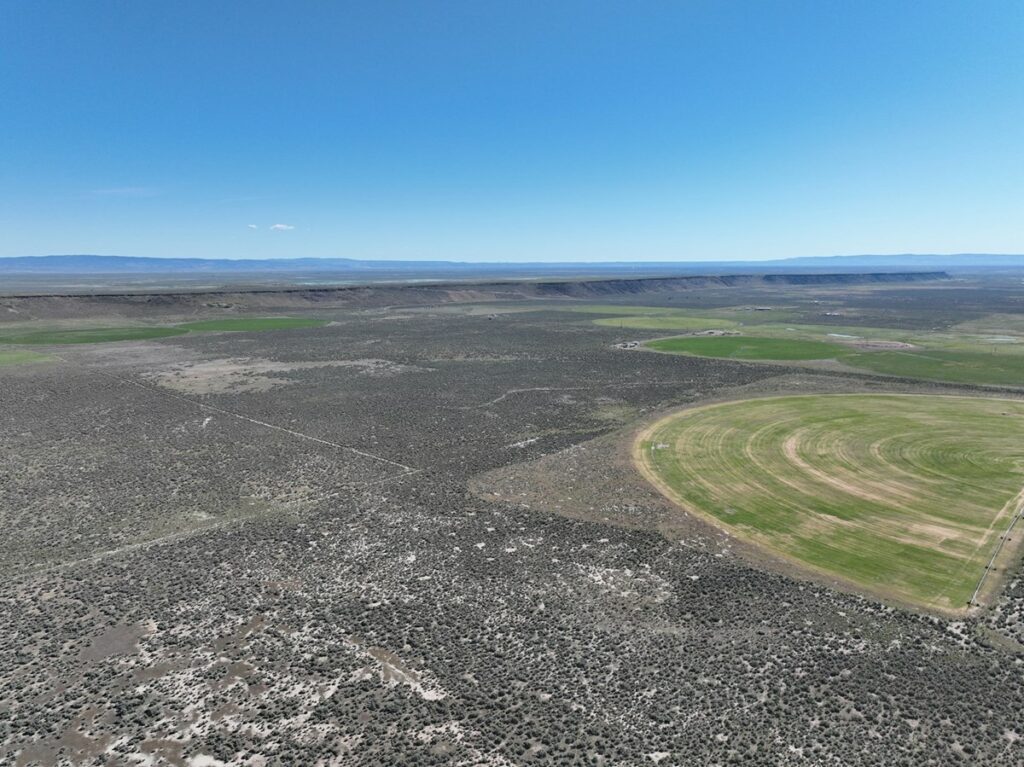
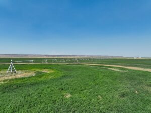
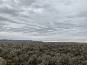
This Eastern Oregon acreage is located between Dog Mountain Lane & Sunset Valley Rd south of Burns, Oregon approximately 15 minutes. It would be a great place to pasture cattle with almost 280 acres of deeded land & the 200 acres of State Lease land. The property has fencing around most of the property. The land qualifies for 2 LOP tags & would be buildable.
LOCATION: Approximately 15 miles south of Burns TAX LOT MAPS: 25S31E00-00-00400 ACREAGE: 279.48 +/- Deeded Acres – Per County Records UTILITIES: Power – Harney Electric Coop (Borders Property) TAXES: $103.37 STATE LEASE: 200+/- Acres ( 25S31E04-00-00500)
Land for Sale /
Listing Agent
CONTACT AGENT
Welcome to UC Land
Lost your password? Reset it here.
Don't have an account? REGISTER HERE.
Please enter your email address or username. You will receive a link to create a new password via email.
Email Address or Username
Register with UC Land