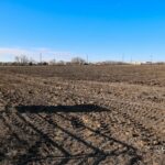
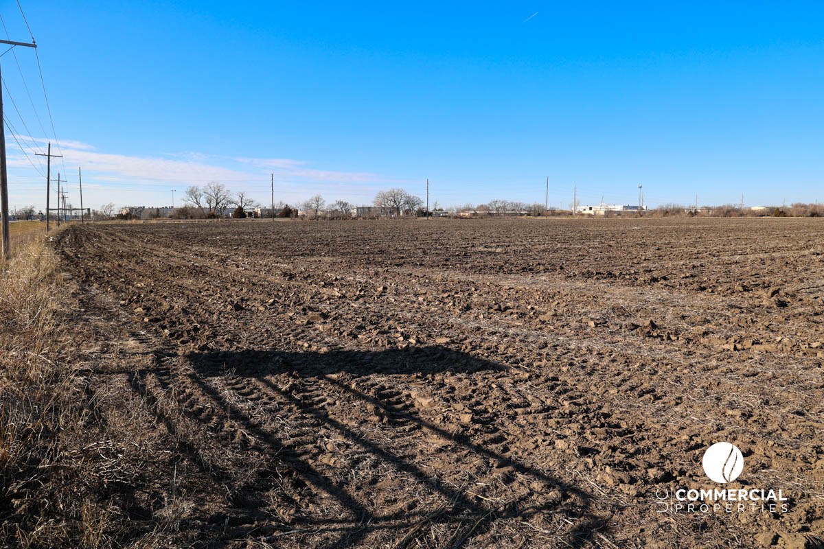
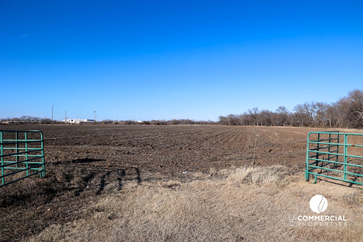
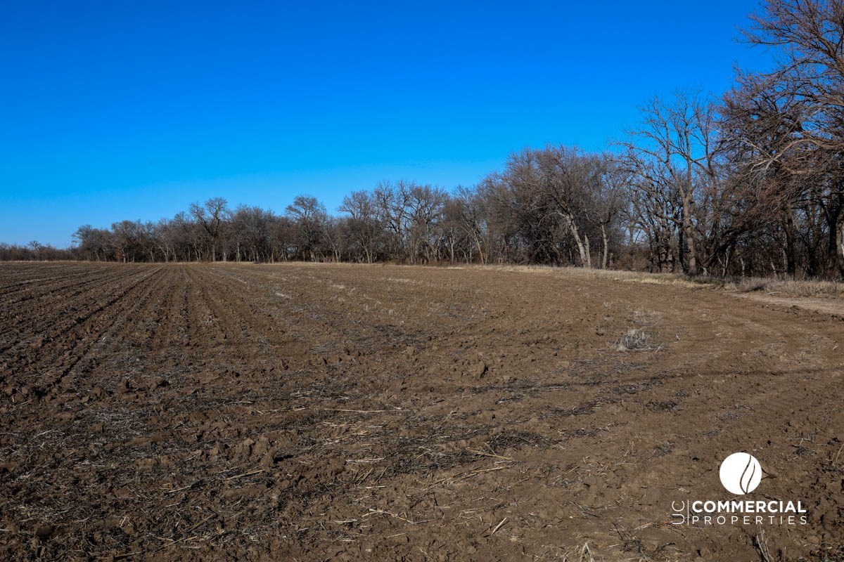
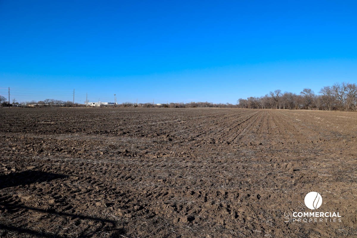
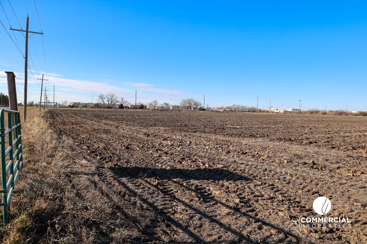
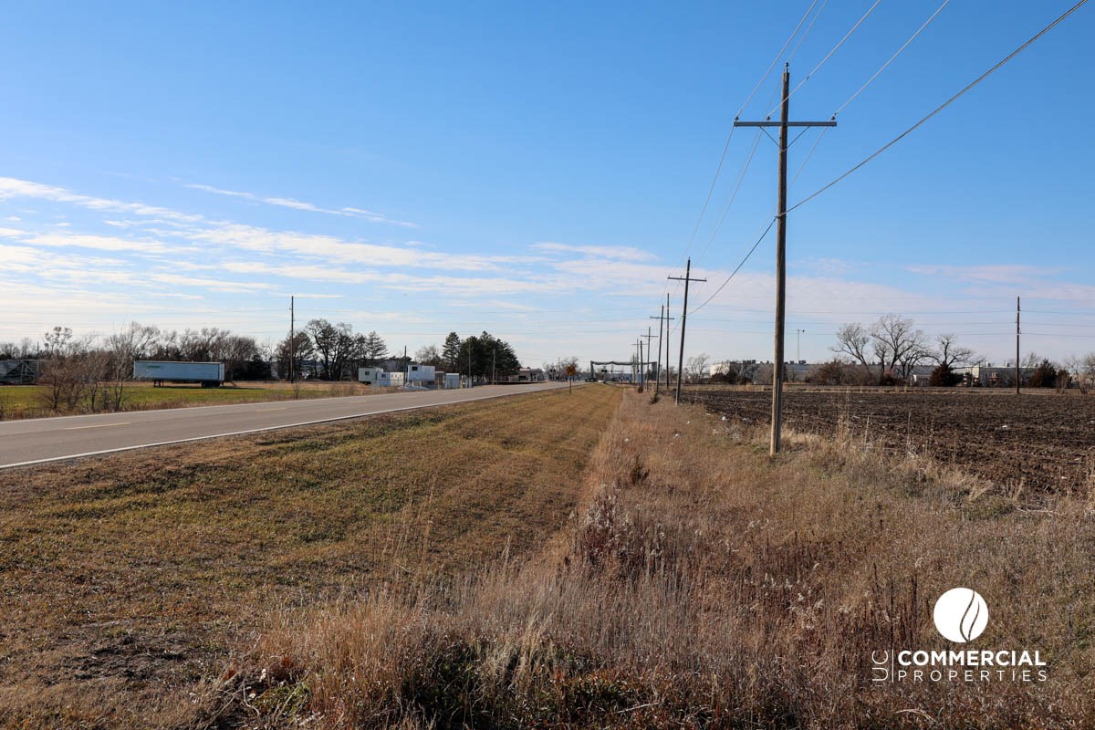
Brian Rose of United Country | Milestone Realty and Development of Salina, Kansas is offering are offering for sale 36.69± Acres of Cropland / future Development Land located in Salina, Kansas. This land features 26.82± FSA Cropland Acres with the remaining 9.87± Acres of Timber, Cover & Pasture Land for a total of 36.69± Acres of Land. This land is NOT within the City Limits of Salina; however, with its proximity between Interstate I-135 and the Kansas State University Salina Aerospace and Technology Campus, this land would be prime for commercial or residential development. Minerals are believed to be 100% intact and will be sold with the land.
Please go to the following DropBox Folder to download additional property information:
Property Information DropBox Folder
SELLERS: Tom and Linda Rickstrew Trust
LEGAL ADDRESS: A tract of land located in the Southwest Quarter (SW/4) of Section Twenty-six (26), Township Fourteen (14) South, Range Three (3) West of the 6th P.M. in Saline County, Kansas, being more particularly described as follows: Commencing at the Southwest corner of said Southwest Quarter (SW/4); thence on an assumed bearing of South 89 Degrees 54’41”E along the South line of said Southwest Quarter (SW/4) a distance of 130.72 feet to the intersection of said South line, and the Easterly right-of-way line of the Union Pacific Railroad, said point being the point of beginning; thence North 00 Degrees 19’47”W along said Easterly right-of-way line, a distance of 599.82 feet; thence on a curve to the right having a radius of 5,679.65 feet, a chord bearing of North 07 Degrees 19’07”E, a chord distance of 1,512.35 feet, and an arc length of 1,516.85± feet to the centerline of Dry Creek; thence South 52 Degrees 35’23”E along said centerline, a distance of 559.48± feet; thence South 46 Degrees 45’04”E continuing along said centerline, a distance of 268.56± feet; thence South 32 Degrees 18’34”E continuing along said centerline, a distance of 81.07± feet; thence South 20 Degrees 53’59”W continuing along said centerline, a distance of 415.59± feet; thence South 27 Degrees 55’22”E continuing along said centerline, a distance of 436.81± feet; thence South 20 Degrees 07’55”E continuing along said centerline, a distance of283.94± feet; thence South 21 Degrees 58’56”W continuing along said centerline, a distance of 192.69± feet; thence South 14 Degrees 59’07”E continuing along said centerline, a distance of 299. 74± feet to a point on said South line of said Southwest Quarter (SW/4); thence North 89 Degrees 54’41”W along said South line a distance of 1 ,031.96± feet to the point of beginning. (except that part taken for roads, highways and right-of-ways)
TAXES: 2024 Taxes were $324.78
DIRECTIONS: From the intersection of W. Magnolia Rd. and Interstate I-135 in Western Salina, drive a 1/2-mile west until you see the Subject Property on the North Side of the road. From the intersection of W. Magnolia Rd. and Centennial Rd. in Western Salina, drive a 1/4-mile east until you see the Subject Property on the North Side of the road, just past the railroad tracks.